LiDAR vs Photogrammetry technology: which do you need?
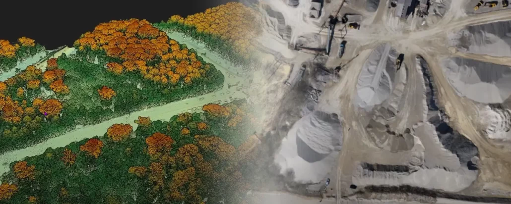
LiDAR imaging and Photogrammetry: two sides of the same drone Drone surveying is an ever-changing landscape, largely because drones are versatile and therefore can be outfitted with new equipment all the time. New innovations, methods, and techniques often change the way geospatial professionals approach worksites and tasks, which can really keep you on your toes. The two most well-known types of drone surveying utilise LiDAR imaging or photogrammetry. Both have their own benefits and drawbacks, and their usefulness depends on the specific application. Not sure which one to pick? No problem, we’ll walk you through your choices to help you decide what’s right for your project. The ins and outs of LiDAR imaging LiDAR stands for “light detection and