SmartSurveyor 3-in-1 mapping tool available from Aptella
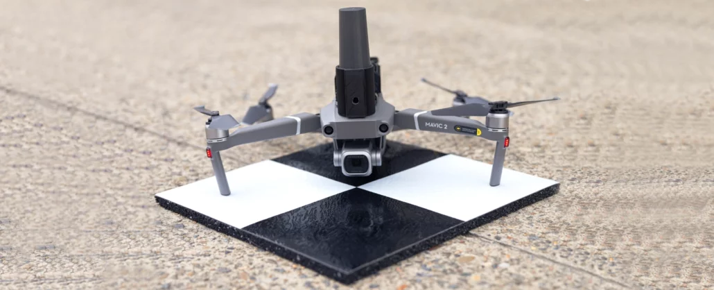
SmartSurveyor enables accurate aerial mapping, handheld photogrammetry and survey rover tasks and is compatible with DJI Mavic 2 and 3 series, or Phantom 4 Pro, drones. Aptella announces the launch of SmartSurveyor, a compact device that can be used for survey-grade aerial mapping projects in combination with the DJI Mavic 2 or 3 series, as well as the Phantom 4 drone. Unclip the SmartSurveyor from the aircraft and use it as a handheld photogrammetry tool with your smartphone camera, or a survey rover to measure ground control points. Unlike other drone mapping systems that rely on post-processed or real-time kinematic (PPK or RTK) technology, SmartSurveyor works with two or more ground control points (GCPs) and uses an iterative