
Students at Cecil Andrews College in Western Australia to benefit from world-leading Design Engineer Construct! Learning Programme, with support from Aptella. Cecil Andrews is the first school in Australia to introduce the dedicated built environment course, developed by UK-based COYO. Aptella will work closely with teachers at the college to deliver meaningful learning opportunities with the latest in geospatial technology. Class Of Your Own (“COYO”) is an organisation focussed on showcasing career pathways for young people in the built environment. Its dedicated and award-winning Design Engineer Construct! (DEC) programme assists teachers to introduce an array of skill sets needed in construction and infrastructure projects, including engineering, surveying, architecture and design. “Standard high school curriculums do not include learning
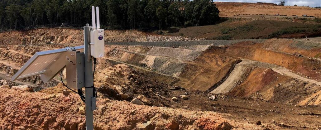
What are the main challenges in modern mine site monitoring systems? Mine site monitoring has typically been divided into two phases of activity: collection and analysis. With production pressures on site and staff increasingly becoming more time poor, data is collected often at the expense of the analysis. Or more frustratingly, the data has been diligently curated by surveyors and technicians into a variety of packages and then slowly accrues digital dust as geotechnical and mining engineers do not have the time to review it. In my time as a mine geologist, I can confess to collating multiple spreadsheets storing a myriad of surveying and geotechnical data. During this time I recall cajoling surveyors into measuring control points
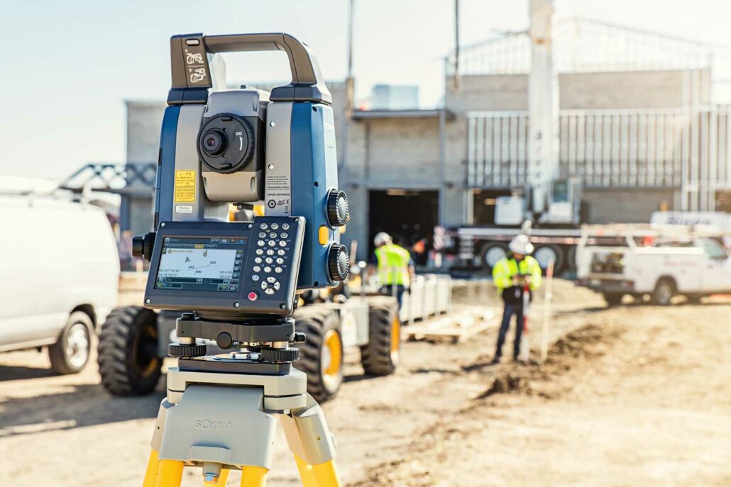
Sokkia announces the availability of new robotic total stations designed to improve job site productivity. The iX-1200 and iX-600 total stations are professional-level positioning tools for survey and layout in the building construction and infrastructure trades. Engineered for integration with field controllers, software and GNSS receivers, the total stations are designed as part of a full workflow solution. Ray Kerwin, director of global product planning, said, “The high-performance technologies incorporated into the design provide increased prism-tracking strength. Through a combination of optical sensing and ultrasonic motors, UltraTrac technology helps users stay locked onto the prism — and productive with less down time resulting from the need to reacquire prism lock — even in dynamic job site conditions. “The
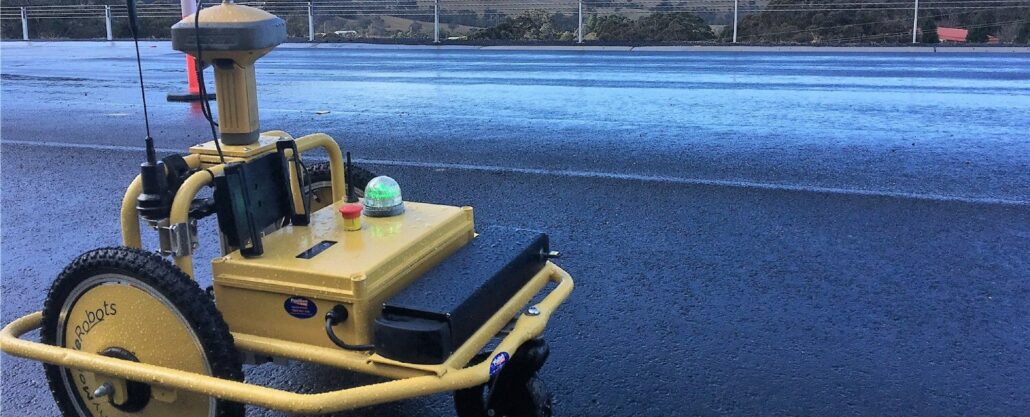
The Shire of Esperance is constantly on the look out for new technology and solutions that can make life easier for the surveyors working on the creation of new roads and maintenance of existing roads within the Shire of Esperance. The Shire of Esperance is constantly on the look out for new technology and solutions that can make life easier for the surveyors working on the creation of new roads and maintenance of existing roads within the Shire of Esperance. This led Paul Farmilo, Technical Officer – Fleet to the Tiny Surveyor line marking machine from Aptella, which he saw as the ideal instrument to increase the efficiency and reduce the mundane tasks for the surveyors working on
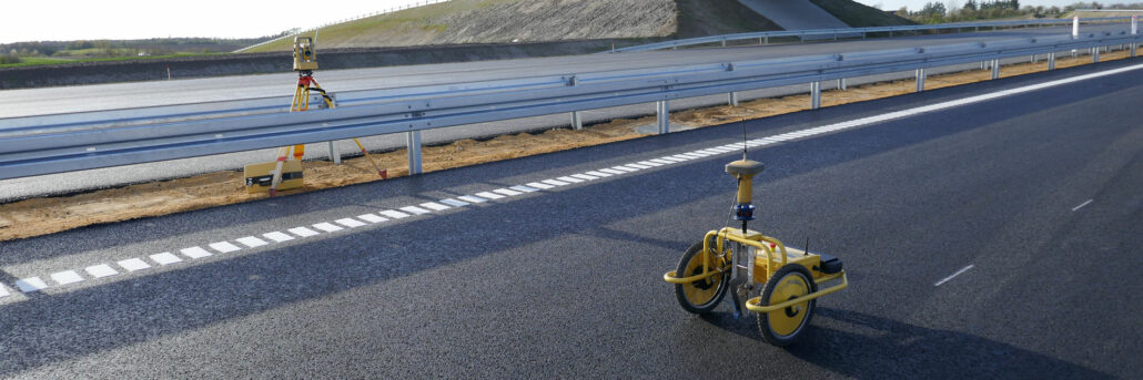
Dayne Corps, Director, Karratha Earthmoving saw a video on YouTube of the Tiny Surveyor GPS Line Marker robot from Aptella in action and thought it would be the ideal instrument to implement into his technology arsenal. Mr Corps initially purchased the Tiny Surveyor intending to use it for line marking but knew his team of surveyors would embrace it and build on their use of the instrument to continually make their workflow more efficient. “We’re a company that is looking forward to keep ahead with technology, so when I got the Tiny Surveyor GPS Line Marker I knew that we could use it but I also knew that we’d grow with our use of it because we’re that
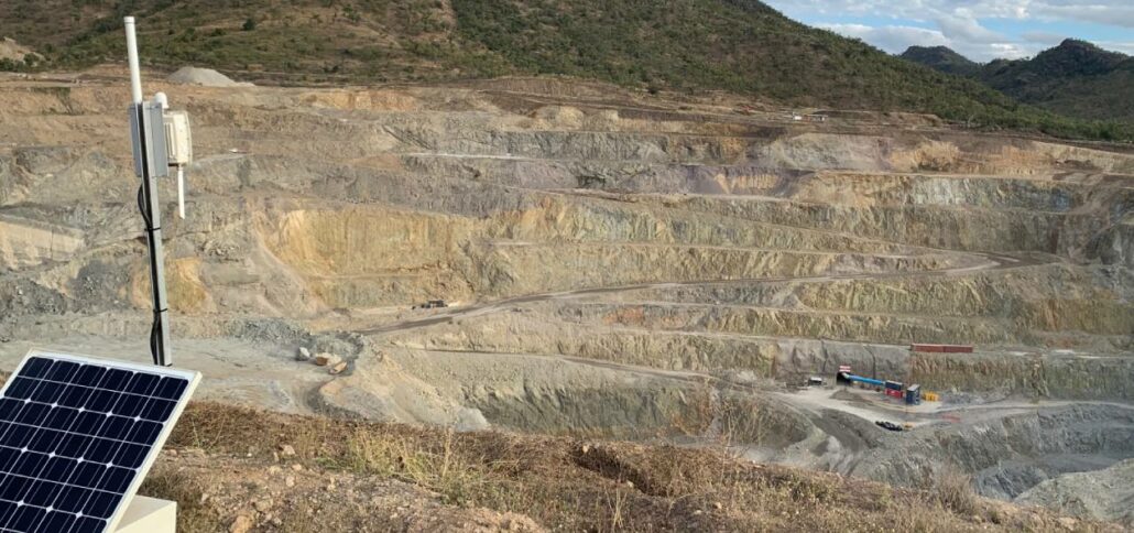
Mine deformation monitoring systems monitor structures like tailings dams, open cut walls, and fixed plant for deformation including cracks, slippage, or any other movement outside of set tolerance parameters. These automated systems are more efficient, accurate, and thorough than labour-intensive traditional systems that rely on more manual processes and are harder to scale. Automated mine monitoring technology picks up deformations in mine structures by tracking movement, temperature, vibration and more. The data is sent wirelessly to the office for review by managers, surveyors and other key stakeholders, where they can analyse changes over time or get immediate alerts if there are more significant movements that require prompt attention. These systems are becoming increasingly popular following dam collapses at
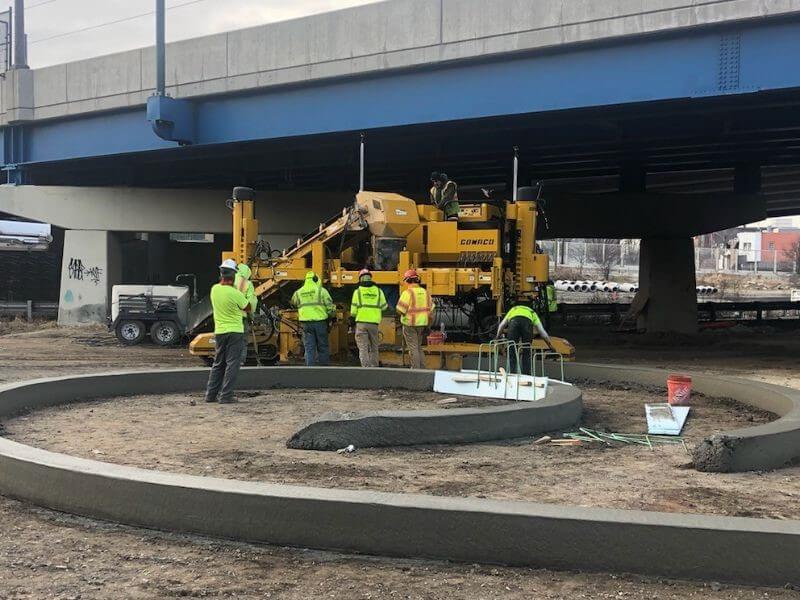
Topcon Positioning Group has announced system solutions designed to support kerb and gutter paving professionals by maintaining productivity and accuracy, even when facing difficult GPS/GNSS coverage issues. Using either the GT-1200 series robotic total station or the LN-150 construction set out tool, customers can augment their existing mmGPS concrete paving solution and remedy issues such as foliage canopies, large buildings, tunnels, overpasses, and more. “Although mmGPS has become the gold standard for efficient, accurate, kerb and gutter work, situations do arise in which that solution is simply not available,” said Brian Lingobardo, Topcon business manager, concrete paving. “In such cases, temporarily turning control of the paver over to a robotic instrument will still ensure that production is maintained.”
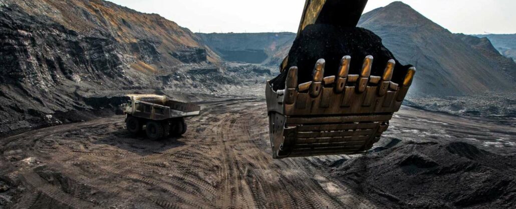
Machine guidance is a technology that precisely tracks a machine within a mine to ensure adherence to the mine plan. It gives machine operators and project managers data to stop over digging, under digging, and digging in the wrong location. These uses have ensured machine guidance system’s success in improving mine productivity since mine sites began using it over 20 years ago. Understanding the big picture A mine plan is essentially a business plan outlining how to get the most out of the resources of a mine. Combined with a mine design, a project timeline, and budgets, a mine plan lays out the project goals from mine construction to mine production that everyone from the project managers to


