Deskripsi
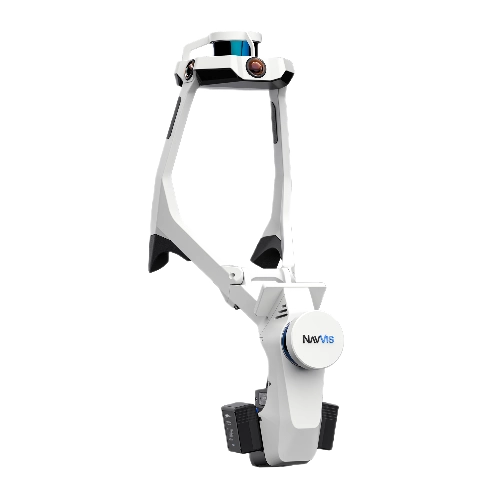
Ready for Anything
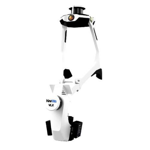
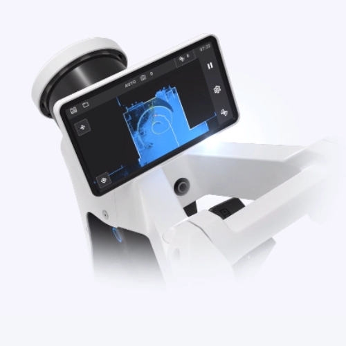
Scan complex and large structures with ease with the NavVis VLX mobile mapping system
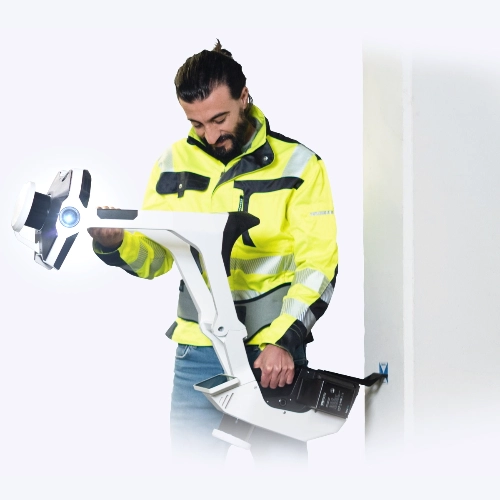
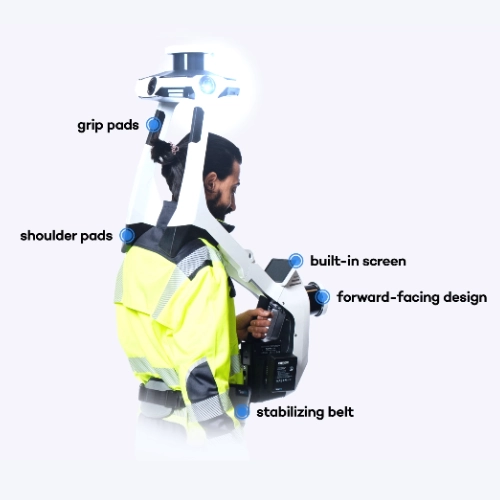
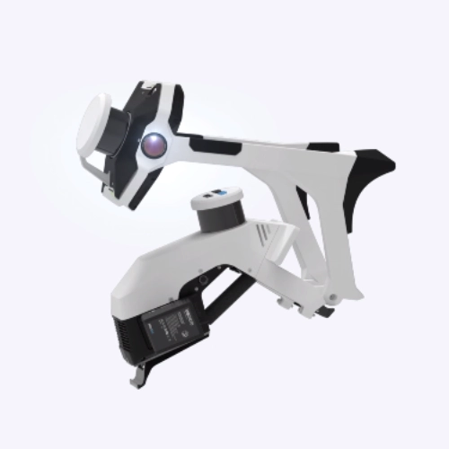
Featuring Simultaneous Localisation and Mapping (SLAM) technology, the VLX wearable scanner from NavVis enables fast, accurate and efficient reality capture in a wide range of environments. Ideal for creating digital twin or BIM models, the NavVis VLX is up to 10 times faster than a terrestrial 3D laser scanner.
Survey-grade results
Advanced SLAM algorithms to maintain accuracy and quality for point cloud data
Preserves details
The VLX features point cloud reconstruction to preserve details whilst reducing noise and shadowing, for efficient use in 2D drawing and 3D models
Geo-reference your work
Using ground and/or wall targets, easily geo-reference your scanning projects
Realistic texturing
Sophisticated visualisation with realistic textures and colourisation
Auto removal of dynamic objects
If people or other moving objects interrupt your scan, they can be automatically removed during post processing to reduce manual work
Robust SLAM
Accurate, dynamic scanning of the entire structure, including building facades and surroundings
What is SLAM?
SLAM technology is an algorithm that determines your location and trajectory as you move through a defined area. It processes information from the LiDAR sensors, Inertial Measurement Unit (IMU), and cameras to continuously calculate your position as you move.
SLAM is crucial in mobile mapping because, unlike terrestrial laser scanners that operate in a fixed (and known) location, the data is captured dynamically as you move. The sensors are in motion as you move through the space, which without SLAM would cause alignment errors.
NavVis SLAM technology has been comprehensively tried and tested in a range of challenging applications to deliver the most advanced and market-leading accuracy for mobile mapping. Contact the Aptella Scanning Team to learn more and discuss your project.
Based in Munich, Germany, with offices in New York and Shanghai, NavVis has customers worldwide in the surveying, AEC, and manufacturing industries. For more information, visit www.navvis.com.

Ulasan
Belum ada ulasan.