Get 10% off Surveying Accessories online – use coupon code “10%OFF” at checkout.

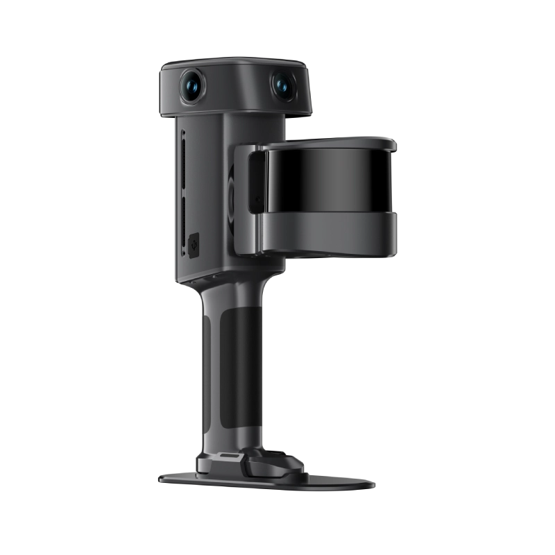
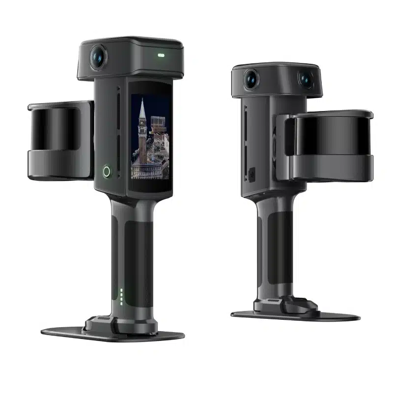
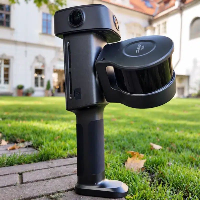
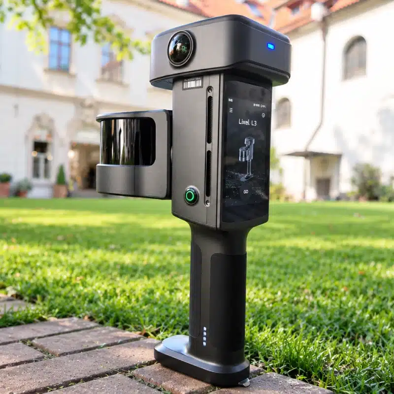
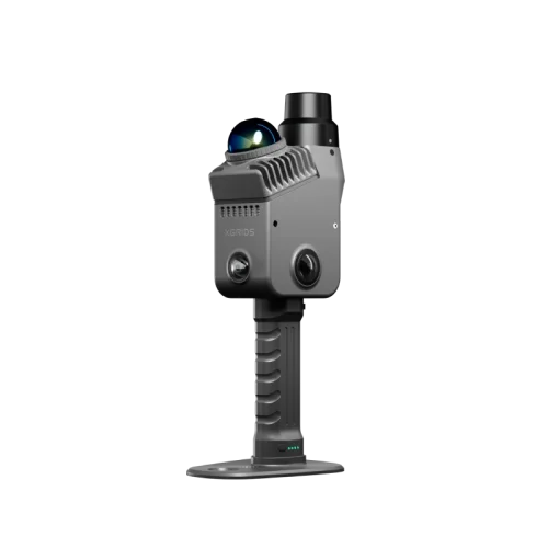
XGRIDS L3

The Lixel L3 is a flagship high-accuracy spatial scanner. It holds a verified 5 mm relative accuracy¹ and photorealistic colour across large, complex sites. A single pass produces a true-colour point cloud, a mesh, and a 3D Gaussian Splatting model, supporting precise measurement and true-to-life presentation alike. Deliverables fit directly into workflows across surveying and AEC, digital twin, and film and entertainment: the real world rebuilt in digital space.

Request more information about this product
Brand:

Description

Verified 5 mm relative accuracy¹

Mobile capture speed, survey-grade results.

True colour photorealism

Rich tonal range, sharp detail, faithful color.


Stable mapping in complex scenes

Holds up in degraded environments and where GNSS is limited.

One scan, multiple deliverables

Point cloud, 3DGS and Mesh, delivered from a single pass.

Companion software

Lixel Studio

All-in-one point cloud processing software

Viewing, editing, processing, and industry plugins for point cloud data.

  • Photorealistic colorization
  • Engineering-grade leveling
  • Clean point clouds through intelligent denoising
  • High-detail mesh output

Lixel CyberColor

Next-generation spatial content production platform

Combines SLAM and 3D Gaussian Splatting to generate photorealistic 3D models automatically.

  • Large-scale scene reconstruction
  • Lighter model formats
  • World model editing
  • Open SDK and plugins

Specifications

Category Specification Details
HARDWARE
Model Lixel L3 — 16-channel / 32-channel
Dimensions 206 mm × 107 mm × 329 mm
Power consumption <30 W
Weight Approx. 2.5 kg
Data interface USB 3.1 Gen2
Internal storage 1 TB UFS
RTK module Supported — built-in
WiFi 802.11 a/b/g/n/ac/ax
Bluetooth v2.1+EDR / 3.0+HS / 4.2 / 5.0 / 5.2
Housing Aluminum alloy
Total operating time 100 min
OPERATING ENVIRONMENT
Operating temperature −20°C to 50°C
Ingress protection IP54
BATTERY
Battery voltage 14.4 V
Battery capacity 3,350 mAh
DISPLAY
Screen size 4.3″ TFT
Brightness Up to 1,000 nits
Resolution 480 × 800
VISION MODULE
Forward camera 1
Forward camera FOV 100° × 75°
Panoramic cameras 2
Panoramic camera FOV 200° × 200°
Camera resolution 4096 × 3072
CMOS size 1/1.3″
Shutter Rolling shutter
HDR DCG HDR
LiDAR MODULE
Laser class Class 1 — 905 nm
Scanning range 0.7–120 m
Field of view ≈360° × 270°
Scanning method Mobile
Point cloud rate 320,000 / 640,000 pts/s
Laser channels 16 / 32
ACCURACY
Post-processed relative accuracy 5 mm (500 m²) — 1σ
Point cloud thickness ≤5 mm
Absolute accuracy — vertical 2 cm RMSE
Absolute accuracy — horizontal 2 cm RMSE
Repeatability 2 cm
Real-time relative accuracy 1 cm
Leveling with RTK fusion 0.005°
Leveling without RTK fusion 0.02°
GNSS MODULE
Horizontal accuracy 0.8 cm + 1 ppm
Vertical accuracy 1.5 cm + 1 ppm
Azimuth coverage 360°
Impedance 50 Ω
Polarization Right-hand circular (RHCP)
OUTPUT FORMATS
Point cloud .las, .rcp, .e57, .ply, .ilas
Imagery .jpg
Mesh .osgb, .obj
3DGS .lcc2, .lcc, .ply
Other 3D Tiles (.3tz), .usd

Downloads

Brochure

Reviews

There are no reviews yet.

Be the first to review “XGRIDS L3”

Your email address will not be published. Required fields are marked *