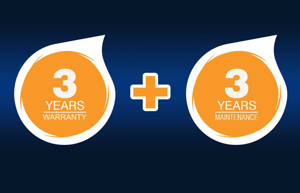
Total Cost of Ownership For Your Survey Gear We’ve factored in everything you need to get maximum return on investment in a simple and transparent way. Introducing the industry’s first ever 3-year fixed price solution with 3-year warranty and 3-year maintenance included. We’ve simplified the numbers to help you de-risk your business and manage the cost of your survey gear over its lifecycle. All-inclusive pricing as standard on all Topcon GT-500 series robotic total stations and Topcon HiPer VR GNSS systems No hidden costs – 1 price covers your hardware Trade up after 3 years or keep your existing equipment with an annual maintenance package Want a call back from our team to discuss this further? Fill in
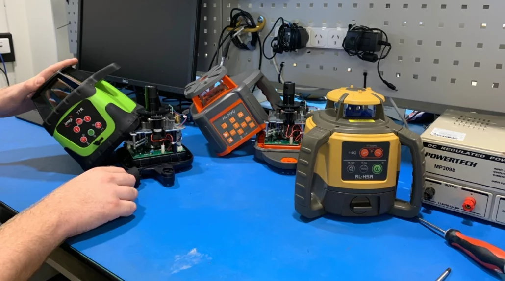
Experts in laser level calibrations! Book your clean and calibration today! Book In Your Laser Level Calibration Service With Our Team Of Experienced Technicians. With Service Centres In Brisbane, Sydney, Melbourne, Adelaide, Perth, Hobart, Canberra And Darwin We Offer Laser Repairs And Laser Calibrations Near You! Book Online Find Your Local Service Centre Experts In Laser Level Calibrations Aptella has service centres in all states and territories of Australia including Sydney, Brisbane, Melbourne, Adelaide, Perth, Canberra, Darwin and Tasmania. With manufacturer trained technicians that can clean, calibrate, repair and service all makes and models of laser levels and construction levels as well as Topcon and Sokkia optical and machine systems technology. If you’re looking to repair or service
The National Measurement Institute (NMI) advises that industrial scales should be calibrated every 6-12 months depending on the stresses applied to the scale, or after major hydraulic work is completed on the scale. This is for maintaining accuracy, fairness, and to comply with regulations that could otherwise cost you. Maintaining accuracy No matter how robust your industrial scale is, over time it becomes less accurate from natural wear-and-tear. Maintaining accuracy is important for both trade and non-trade purposes, including adhering to the load bearing capacity of a machine, or ensuring you have enough of a certain material for a construction project. When measuring large quantities of material, even a small discrepancy in the scale’s accuracy can result in
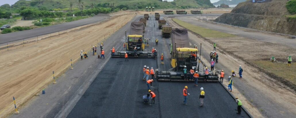
With completion expected in mid-2021, paving the new MotoGP racetrack on Lombok island, Indonesia, is now in full swing. An official date for the MotoGP has not yet been announced, although promoter Mandalika Grand Prix Association (MGPA) anticipates a weekend later in the year subject to construction, homologation and testing being completed. Intelligent positioning solutions specialist Aptella is working with PT. PP (Persero) Tbk, the main contractor and PT. PP Presisi as subcontractor as well as ITDC, the project owner, to deliver advanced positioning and paving technology that will ensure the works conform to international standards. “We have five highly experienced geodetic engineers and surveyors working full time on site to support the operations,” said Mathew Connelly, Aptella
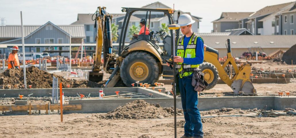
Civil engineers use RTK (Real-Time Kinematic) as a GNSS satellite data correction system. RTK improves positioning data for surveys and topographic maps which require precision to usefully inform engineers about construction design decisions both in the initial phases of a project and while the project is underway. What is RTK? RTK integrates the GNSS positioning data from a fixed base station into any compatible GNSS device, giving it centimetre accuracy. GNSS devices are used in a slew of applications, including everything from agriculture to robotics. Without RTK, the positioning accuracy of devices is around five metres, because they are susceptible to measurement errors including: Clock errors Orbit errors Satellite biases Atmospheric errors Multipath RTK is one of a
Legal trade and non-legal trade scales both have regulations and rules at the manufacturing level, and each have their potential upsides and drawbacks to discuss before purchasing, calibrating, or re-calibrating them. But how do they affect you? Legal trade scales Legal trade scales or ‘trade-approved’ scales are industrial scales used to determine how much someone pays. This can be in a commercial setting, or to calculate a tax, toll, remuneration, bonus, tariff, or penalty. If you are using a scale for this purpose, or for lawmaking or medical purposes, trade measurement law dictates that you must use a legal trade scale. These are scales which could have detrimental effects on the general public if inaccurate. Legal trade scales
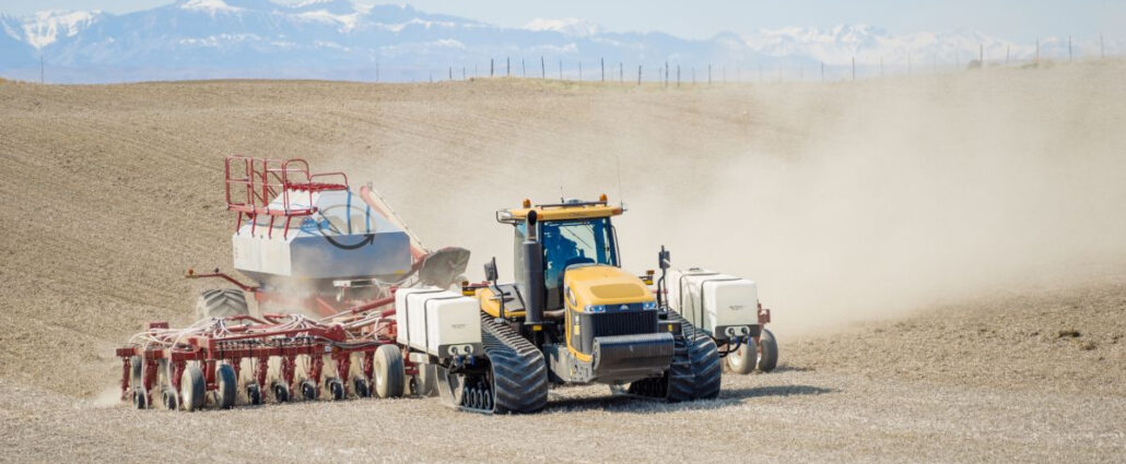
What is RTK?Real Time Kinematics (RTK) is a GNSS satellite data correction system used in agriculture to ensure that land surveys, agricultural inspections, and maps are accurate to real life. Without RTK corrections, GNSS satellite data collected by base station receivers can contain clock errors, orbit errors, satellite biases, atmospheric errors, and multipath – where satellite communications bounce off structures before they get to the receiver. RTK filters out these errors and sends off satellite data now accurate to 1cm of the position of real-life objects. Why does the agriculture industry need corrected satellite data? GNSS satellite data is used for both broad-acre applications and specific applications in agriculture, including for: Drainage Drip irrigation Land levelling Strip tiling
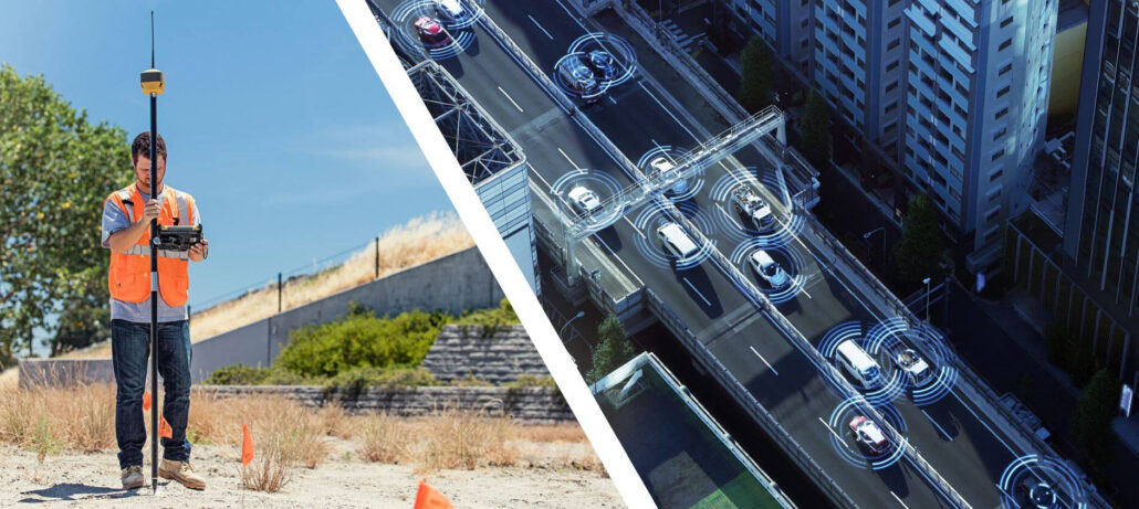
Real Time Kinematics (RTK) is used in field robotics to help a mobile robot position itself in the world, and use that information to navigate in real time around obstacles and to waypoints depending on their application. Robots Using GNSS Satellite Data To Navigate Outdoor Spaces Require An RTK Correction System To Filter Out Errors In The GNSS Data, Including Clock Errors, Orbit Errors, Satellite Biases, Atmospheric Errors, And Multipath. RTK for mobile robots Field robotics is a sector of research focussed on building mobile robots – robots suited for performing in the field, rather than in closed environments such as warehouses or manufacturing plants. One of the basic requirements of a mobile robot is being able to


