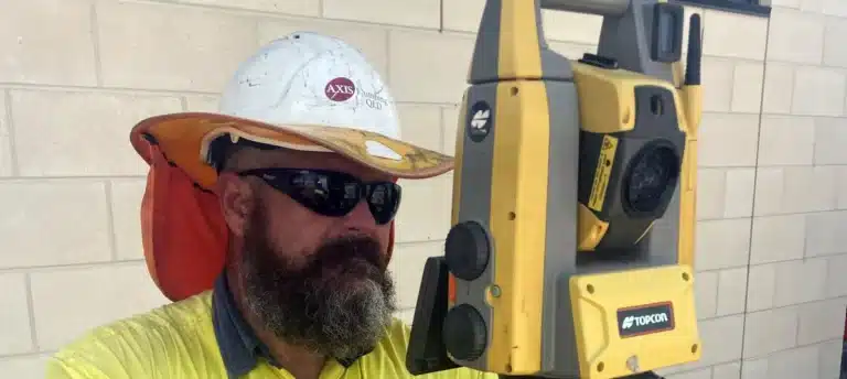
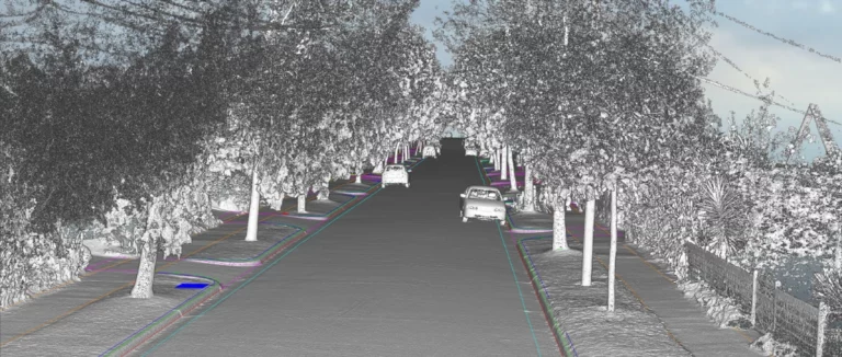
Today, that legacy of precision is being extended by a new generation of technology, with the firm now running a NavVis reality capture fleet supplied through Aptella, comprising two NavVis VLX 2 units and two NavVis MLX units, to compress weeks of fieldwork into hours and give clients a level of site transparency that traditional scanning could never offer. From terrestrial scanning to SLAM The firm was an early adopter of terrestrial laser scanning, bringing that technology into its measured building survey workflow well ahead of many local peers, but it came with a familiar frustration: a great deal of information gathered in the field never made it back to the office in a usable form, since the > Read More
Asset Survey Solutions uses NavVis VLX mobile scanning solution to reduce time spent in hazardous environment by 87.5% Learn More
Bennett and Bennett expands service capabilities with mobile mapping, deformation and vibration monitoring technology Learn More
Western Sydney University finds Z+F Imager 5016 3D Laser Scanner provides the highest quality results Learn More