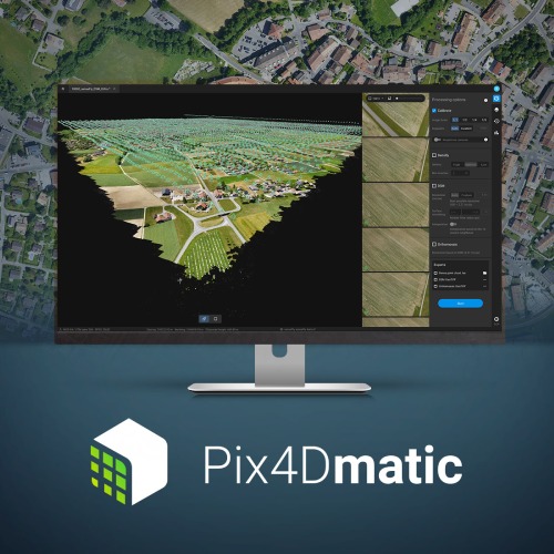


In this webinar, you’ll learn how Pix4D’s new geospatial solutions – Pix4Dmapper, Pix4Dmatic and Pix4Dsurvey – can help to optimise the surveying and mapping workflows to achieve accurate results and get the relevant information your team needs.
Key topics:
– Photogrammetry pipeline: processing your data into accurate point clouds, digital surface models (DSM) and orthomosaic
– Creation of engineering-ready CAD files from photogrammetry projects
– Different user cases
– Q&A session


We source, deploy and support intelligent positioning solutions to enhance our customers’ productivity.
Aptella Ltd
NZBN 942 904 109 4730
2024 Aptella Ltd | NZBN 942 904 109 4730 | Terms and Conditions | Privacy Policy