PIX4Dmatic and PIX4Dsurvey Essentials Workshop

Search
Aptella is Australia’s premier provider of positioning and machine control solutions for surveying, civil contracting, earthmoving, mining and building activities.
LOGO_Pix4Dmatic_name_RGB_Vertical
Pix4d Survey for sale

About this workshop

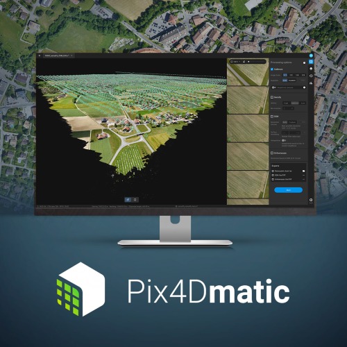
This course will introduce you to critical PIX4Dmatic and PIX4Dsurvey workflows. You will learn about best practices for capturing RGB images and creating, managing, analyzing, and sharing 2D and 3D reconstructions of reality. A series of hands-on exercises will demonstrate how to effectively work with PIX4Dmatic and PIX4Dsurvey.

Date and time

Tuesday, November 1, 2022, 9:00am – 5:30pm

Wednesday, November 2, 2022, 9:00am – 5:30pm

Attendance on all two days is required.

Location: Auckland (address to be confirmed)

Price: 1200 NZD (+ taxes)

Operating system: Windows 

Pix4Dmatic

Objectives

  • Produce accurate 2D and 3D georeferenced representations of reality, including orthomosaics and 3D models
  • Extract vectorized information from results
  • Export results

Agenda

  • Lecture
  • Introduction to photogrammetry
  • Introduction to capturing RGB images with an aerial platform
  • Introduction to collecting ground control points
  • Introduction to checkpoints
  • Assess a quality report with PIX4Dmatic
  • Practical exercises
  • Download and install PIX4Dmatic and PIX4Dsurvey
  • Launch and activate PIX4Dmatic
  • Import data with PIX4Dmatic
  • Calibrate a camera with PIX4Dmatic
  • Georeference with PIX4Dmatic
  • Generate a dense point cloud with PIX4Dmatic
  • Generate a digital surface model with PIX4Dmatic
  • Generate an orthomosaic with PIX4Dmatic
  • Launch and activate PIX4Dsurvey
  • Import data with PIX4Dsurvey
  • Eliminate points with the distance outlier filter with PIX4Dsurvey
  • Classify points with the terrain filter with PIX4Dsurvey
  • Edit a point cloud with PIX4Dsurvey
  • Vectorize with PIX4Dsurvey
  • Generate a grid of points with PIX4Dsurvey
  • Generate a TIN with PIX4Dsurvey
  • Export data with PIX4Dsurvey

Instructor(s)

william hawkins

William Hawkins

William is a recent addition to our technical trainer staff and a geologist with over 20 years of petroleum exploration and mining experience. An experienced UAS pilot and service provider, he has planned and completed a wide range of industrial and research 3d modeling projects. His firsthand experience acquiring data in diverse environments and extensive use of Pix4D application will help you achieve your project goals.

Leave a Reply

Your email address will not be published. Required fields are marked *