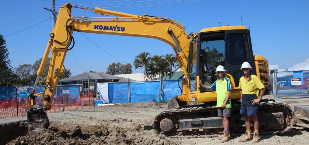
iDig is a simple 2D excavator system that gives the operator a live position of the bucket to guide them to grade quickly and accurately. It works with all makes, models and sizes of machine from little one tonne diggers up to mine excavators. Wayne Nicholson, owner and operator of Combined Excavations, explains they have the iDig system fitted to their two 1.5 tonne and 13-tonne excavators. “We utilise the 2D system to save us time on the ground as well as labour costs,” Mr Nicholson said. iDig helps operators get to grade in a range of applications, including slopes and levels, whilst providing real time information on the position of the cutting edge. It removes the need
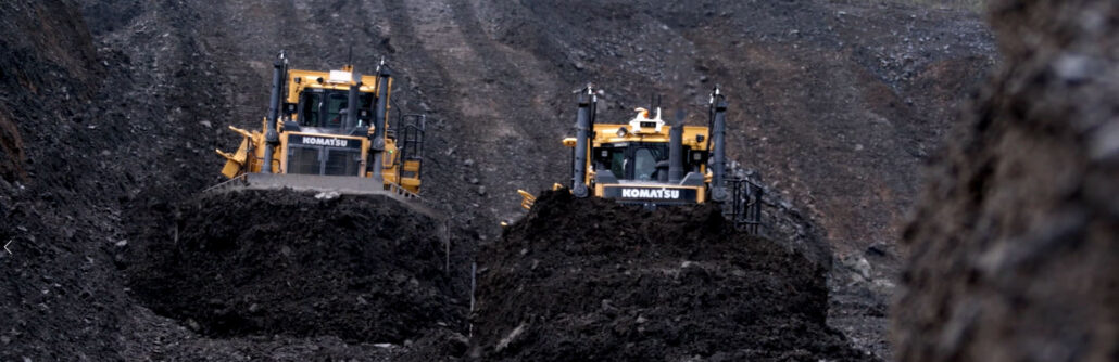
Volumetrics reporting is a simple yet powerful way to improve the efficiency of your dozer push strategy. Traditional survey methods or aerial mapping techniques report only on how much material was moved. Volumetrics reporting provides live insight into the productivity of every machine and operator in your dozer fleet. With an in-depth understanding of machine movement from the field, volumetrics uncovers not only the amount of material moved, but how efficiently it is being moved. Volumetrics reporting measures several parameters that can be optimised to increase bank cubic metres (BCM), BCM per hour and BCM per push. The top four metrics to get more out of your dozer fleet: 1) Machine run time: Gain valuable insight
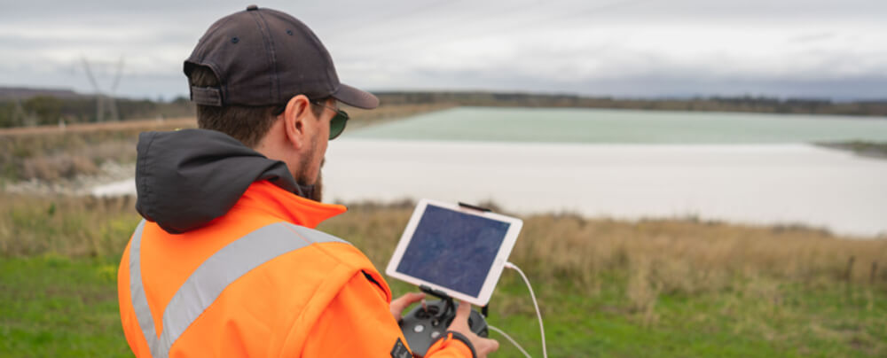
As an everyday practise, we have seen industrial services adopt the use of drones. Whether it is to accurately survey a construction site or to inspect remote infrastructure, The use of drones in construction has become increasingly popular as a way of safely and accurately getting field data to inform decisions on site. Why are Drones used in Construction? Drones are becoming almost an everyday part of the construction industry. The most popular ways that drones are used in construction include: Topography surveying Geospatial surveying Earthworks & construction design Creating 3D and orthomosaic maps Mass haul planning Underground utility mapping Traffic monitoring and management Infrastructure (bridges, towers etc) and building inspection at heights Site safety and supplier monitoring
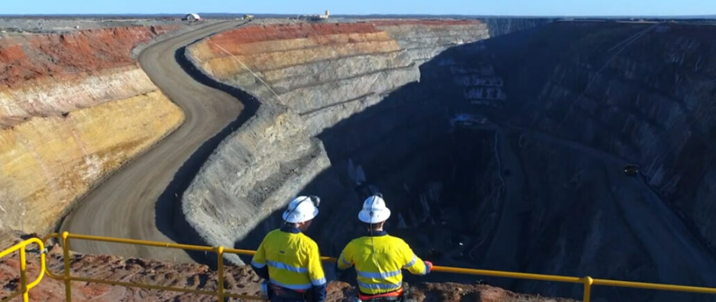
Over recent years, we have witnessed drone technology advancements push aside the traditional methods of mine monitoring and surveying. Drones have become increasingly popular in support of mining applications with exploration, surveying and mapping. Australia and Africa have led the way in adoption of unmanned aerial vehicles (UAVs) across their mining industries to maintain safety, increase oversight and enhance security. Uses Of Drones In Mining Most large mine sites in Australia in 2020 now have a couple of roustabout drones on site and a couple of trained, licensed pilots to deploy the drones at short notice to critical equipment, mapping or production challenges onsite. The most popular uses of drones in mining applications include: Stockpile management: The volume
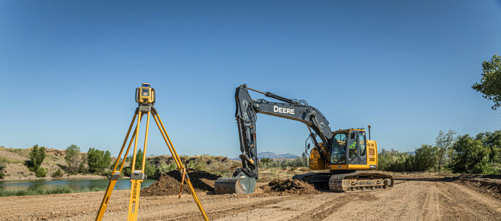
2D machine control (angle sensors, laser receivers, sonic trackers, etc) is where machine control started around 40 years ago and it is still the backbone of everything we do today in 3D machine control with GPS “A large percentage of applications are still powered by 2D machine control at heart, whether that be grading a slope on a motor grader with Topcon System 5 or digging a building pad on an excavator with iDig,” said Joel Seddon, Construction Business Manager, Aptella. “After all these years, the 2D world is still a gateway into machine control for so many and will continue to be so for years to come.” No matter how big or small your next project, Aptella
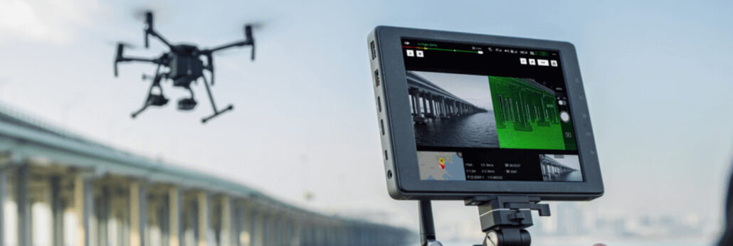
In the world of survey drones, major technological advancements have occurred over recent years. We have seen surges in payloads, aerial surveying capability, flight duration, flight distances and user operation technology Drones are essentially an aircraft that doesn’t have a human pilot onboard, instead, they are controlled by an autonomous onboard computer or an operator who is stationed on land. It is also common for most surveying UAV (unmanned aerial vehicle) drones to be equipped with VTOL (vertical take-off and landing) capabilities – as a matter of course in 2020. What is the Difference between VTOL and UAV in Aerial Surveying? We distinguish some drones used for aerial surveying as VTOL and some as standard UAV. It is
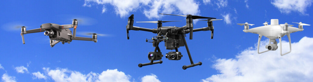
We classify our drones as unmanned aerial vehicles (UAV), which are aircraft without a human pilot onboard. This is the overall category of drone survey and geospatial equipment, which includes a range of different aircraft used for different survey purposes Within the UAV category of survey equipment is the latest flying and launching technology – referred to as V.T.O.L – which means an unmanned aircraft that has a Vertical Take Off and Landing. We talk more about VTOL and VTOL payload over here on this blog: Click here to read about VTOL Payload. This article dives deep into the different types of drones that are on the market today or about to be released – Aptella offer a
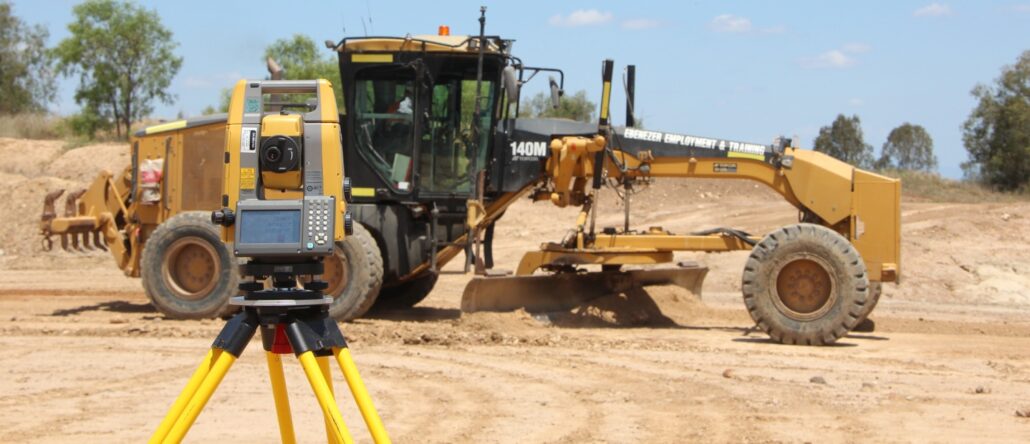
A guide to choosing the right technology, that’s backed by the right level of expertise Positioning technology is a broad term that encompasses a lot of different options for the civil contractor. With so much choice, including factory fit options from machine manufacturers, aftermarket options by different technology companies and various terms and descriptions that are not used consistently across the industry, it can become a mine field to uncover the right fit for your project. What are the main types of positioning technology used in construction? In its simplest form, positioning technology is anything that assists machine operators, surveyors, engineers and project managers to match the physical landscape or structure to the digital (or, gasp! paper-based) project


