
Intelligent positioning solutions provider Aptella to distribute Soil Instruments’ geotechnical sensor range for specialised monitoring applications throughout Australia and New Zealand. Soil Instruments designs and manufactures a wide range of geotechnical monitoring instruments that are used to detect variations in pressure, strain, settlement, or other parameters in deformation monitoring scenarios. “Aptella has worked with Soil Instruments’ product range for 18 months for specific projects that have required specialised sensors,” said Andrew Jones, Monitoring Marketing Development Manager at Aptella. “Soil Instruments has an excellent reputation amongst engineers and geotechnical specialists for their high quality monitoring products,” he added. “Their range expands our monitoring solution portfolio, providing customers a more efficient technical and commercial offering,” he added. For almost 60
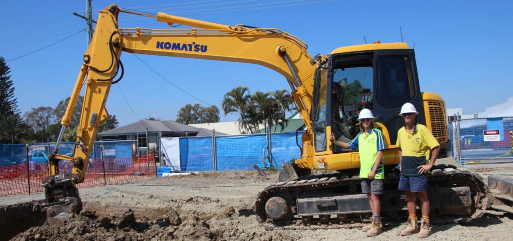
iDig is a simple 2D excavator system that gives the operator a live position of the bucket to guide them to grade quickly and accurately. It works with all makes, models and sizes of machine from little one tonne diggers up to mine excavators. Wayne Nicholson, owner and operator of Combined Excavations, explains they have the iDig system fitted to their two 1.5 tonne and 13-tonne excavators. “We utilise the 2D system to save us time on the ground as well as labour costs,” Mr Nicholson said. iDig helps operators get to grade in a range of applications, including slopes and levels, whilst providing real time information on the position of the cutting edge. It removes the need
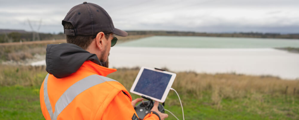
As an everyday practise, we have seen industrial services adopt the use of drones. Whether it is to accurately survey a construction site or to inspect remote infrastructure, drones in the construction industry have become increasingly popular as a way of safely and accurately getting field data to inform decisions on site. Drones have become increasingly popular in support of mining applications with exploration, surveying and mapping. Australia and Africa have led the way in adoption of unmanned aerial vehicles (UAVs) across their mining industries to maintain safety, increase oversight and enhance security. As an everyday practise, we have seen industrial services adopt the use of drones. Whether it is to accurately survey a construction site or to
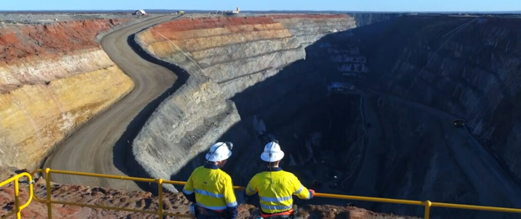
Over recent years, we have witnessed drone technology advancements push aside the traditional methods of mine monitoring and surveying. Drones have become increasingly popular in support of mining applications with exploration, surveying and mapping. Australia and Africa have led the way in adoption of unmanned aerial vehicles (UAVs) across their mining industries to maintain safety, increase oversight and enhance security. Drone Mining Survey UAVs (unmanned aerial vehicles) have been increasing in popularity in the mining industry for the last 10 years. As the technology has improved in leaps and bounds, so too has the number of drones deployed on mine sites for a variety of applications. Drones using cameras, LIDAR technology, or plugged into photogrammetry software, can create
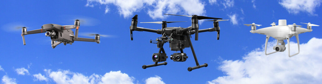
We classify our drones as unmanned aerial vehicles (UAV), which are aircraft without a human pilot onboard. This is the overall category of drone survey and geospatial equipment, which includes a range of different aircraft used for different survey purposes Within the UAV category of survey equipment is the latest flying and launching technology – referred to as V.T.O.L – which means an unmanned aircraft that has a Vertical Take Off and Landing. We talk more about VTOL and VTOL payload over here on this blog: Click here to read about VTOL Payload. This article dives deep into the different types of drones that are on the market today or about to be released – Aptella offer a
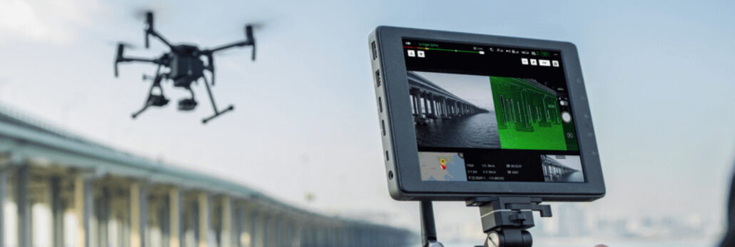
In the world of survey drones, major technological advancements have occurred over recent years. We have seen surges in payloads, aerial surveying capability, flight duration, flight distances and user operation technology Drones are essentially an aircraft that doesn’t have a human pilot onboard, instead, they are controlled by an autonomous onboard computer or an operator who is stationed on land. It is also common for most surveying UAV (unmanned aerial vehicle) drones to be equipped with VTOL (vertical take-off and landing) capabilities – as a matter of course in 2020. What is the Difference between VTOL and UAV in Aerial Surveying? We distinguish some drones used for aerial surveying as VTOL and some as standard UAV. It is important
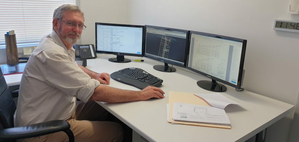
Relied upon by cadastral and topographic surveyors, engineers, architects and drafters, CAD software is used to create and manage plans or projects in a digital format. The software available on the market today has come a long way from the early years of computer programs. In this article we’ll step through the evolution of civilcad, a popular and Australian-developed solution that has a long history and is today known as MAGNET Office, which now forms part of the MAGNET Systems Workflow. Cliff Stewart is a land and mine surveyor with more than 30 years’ experience in land development projects. During his career, he’s also worked on 13 mine sites and is authorised for all aspects of underground and


