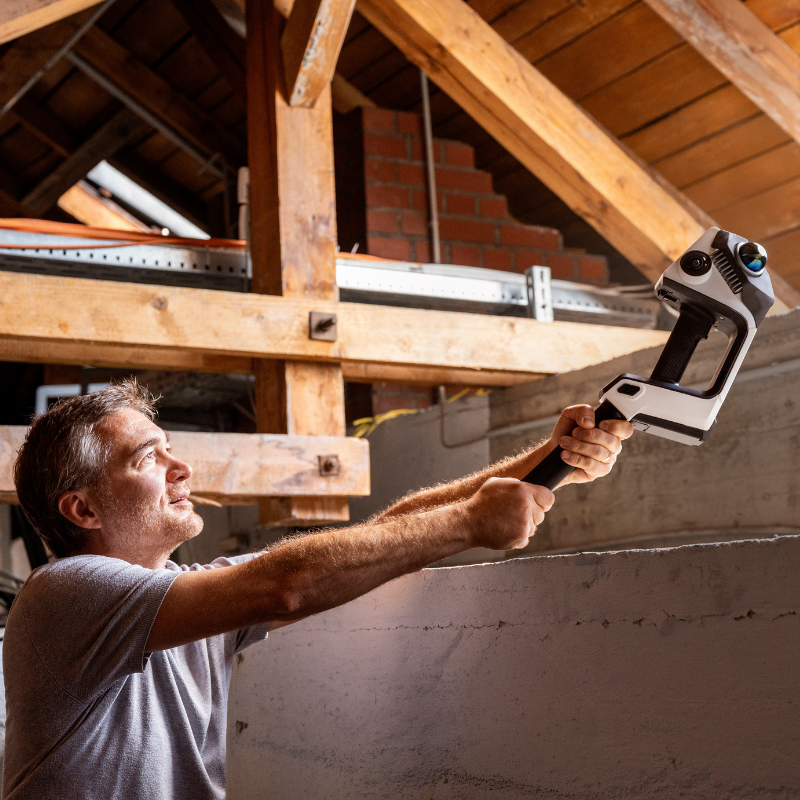
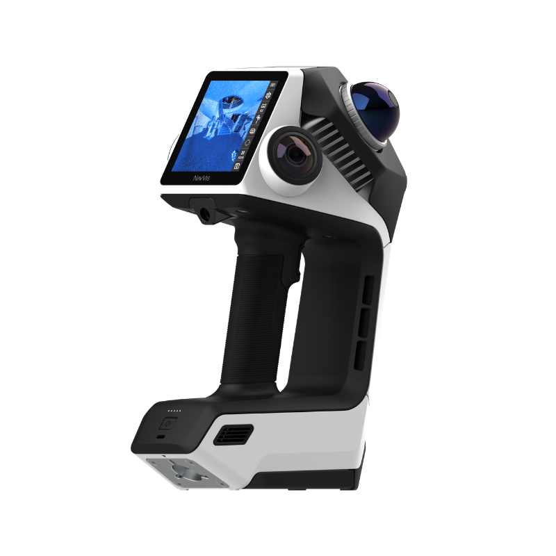
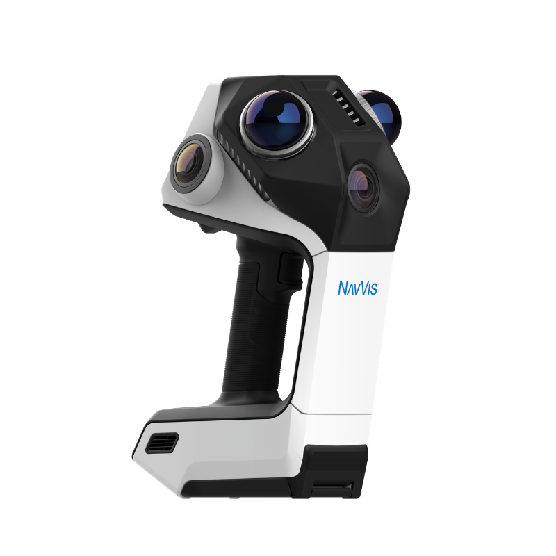
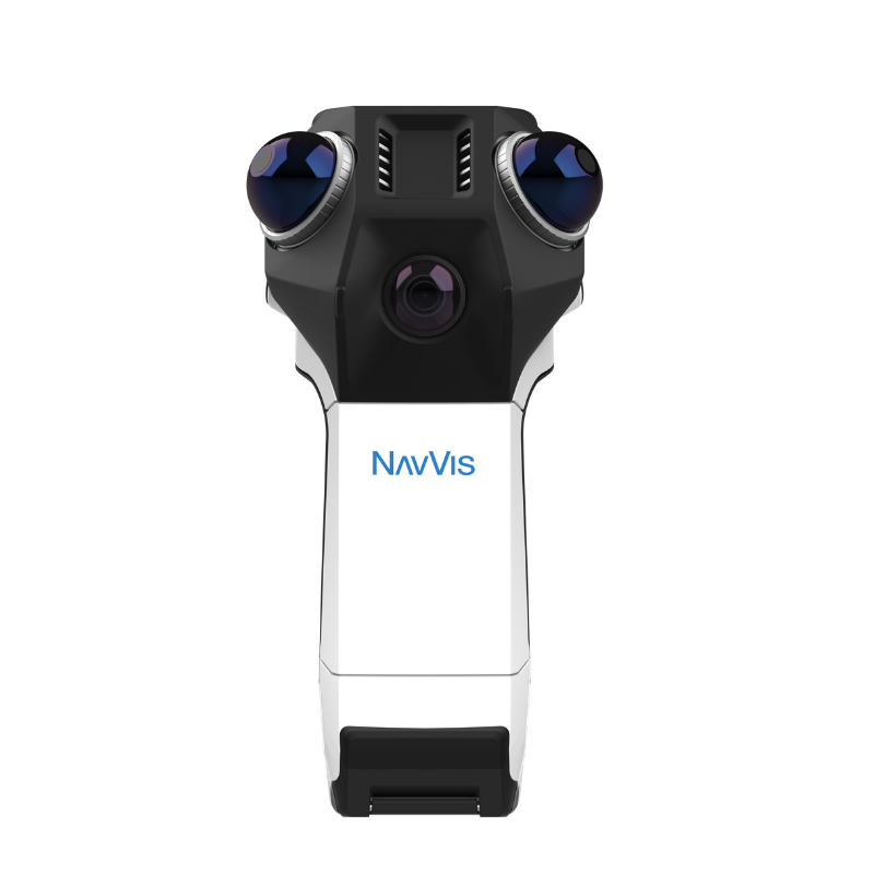
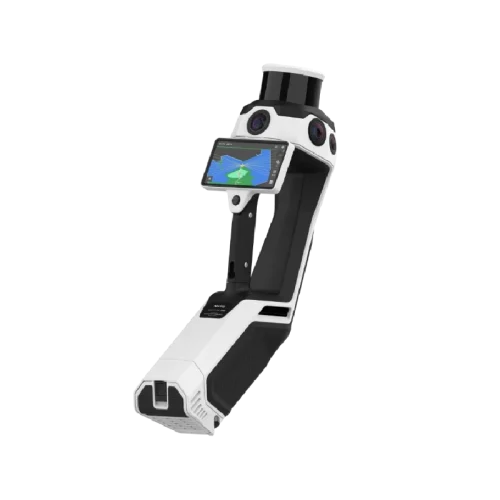
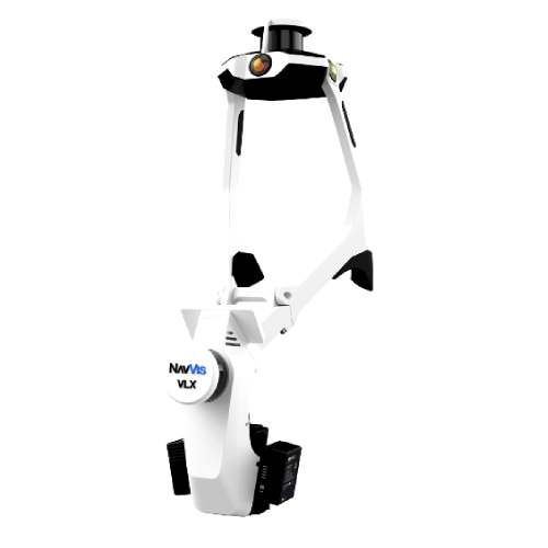
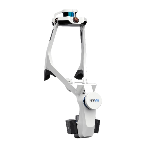
NavVis CLX is an agile handheld laser scanner purpose-built for high-volume, everyday documentation, enabling operators to rapidly capture and deliver reliable spatial data at scale when simplicity and ROI matter.
NavVis CLX Launch Roadshow – Join us this October and November for an exclusive look at the new NavVis CLX and discover how NavVis’ complete range of reality capture solutions can make your projects faster, easier and more efficient. Perth, Melbourne, Sydney, Brisbane, Auckland, Singapore, Kuala Lumpur and Jakarta.
“NavVis CLX could be used by customers who are accessing properties on the spot, often without returning anytime soon. It would allow them to obtain something genuinely useful while they are there. We also have hundreds of projects, from crosswalks to other roadwork projects, and every one of them requires documentation. NavVis CLX can provide the solution for capturing everything. It is perfect for the types of jobs we look into” Mile Petrovic, Exact
NavVis CLX is fast to learn, easy to deploy, and optimised to scale. The integrated screen with live 2D/3D feedback and streamlined workflows reduces training requirements, making it easier to onboard new operators and deploy across multiple teams of all skill levels.
Trusted, high-quality data
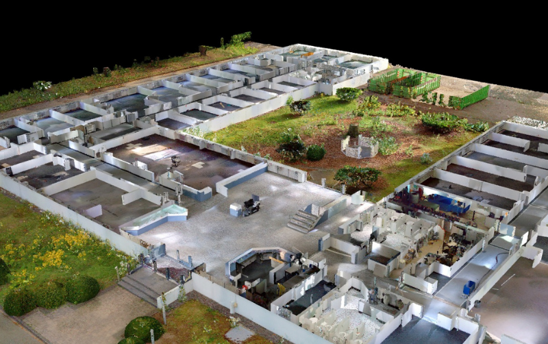
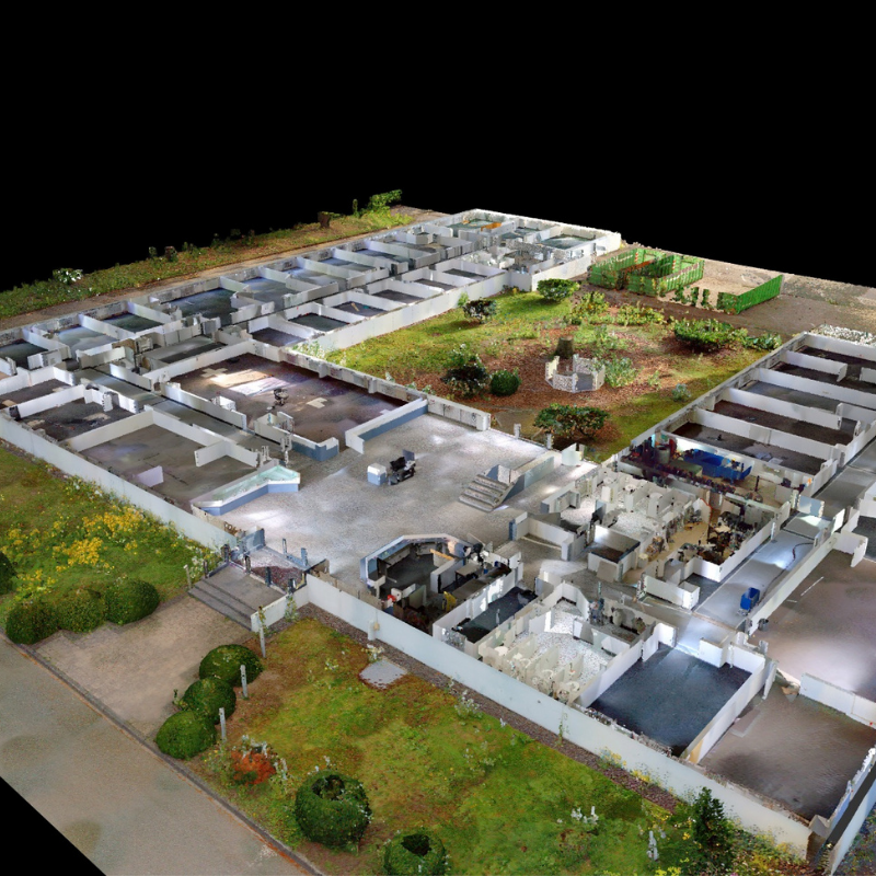
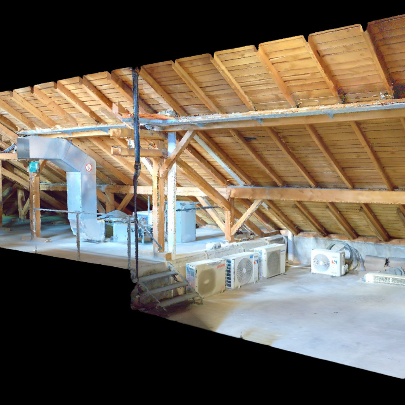
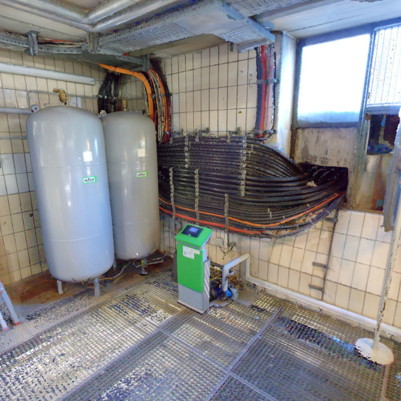
Draw on ground truth, not guesswork. NavVis CLX produces clean, low-noise, structured point cloud data suitable for documentation, measurement, and modeling workflows. The result is reliable documentation-grade output that reduces cleanup effort and supports efficient downstream LOD 200 CAD/BIM production.
Supported by NavVis IVION and IVION Processing, NavVis CLX provides a streamlined workflow from capture to processing and data access. Teams can move faster from site visit to deliverable, with hardware, processing, and collaboration designed to work together.
Purpose-built
NavVis CLX is designed specifically for repeatable, high-frequency workflows such as area referencing, site assessment, quantity surveying support, and LOD200 Scan-toCAD/BIM. It helps teams capture and deliver more projects with the same resources while maintaining consistent documentation quality.
Dual LiDAR architecture, live visualisation, and coverage feedback help users validate capture completeness on site. This reduces uncertainty, minimises missed areas, and helps teams avoid costly revisits