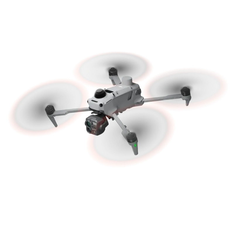
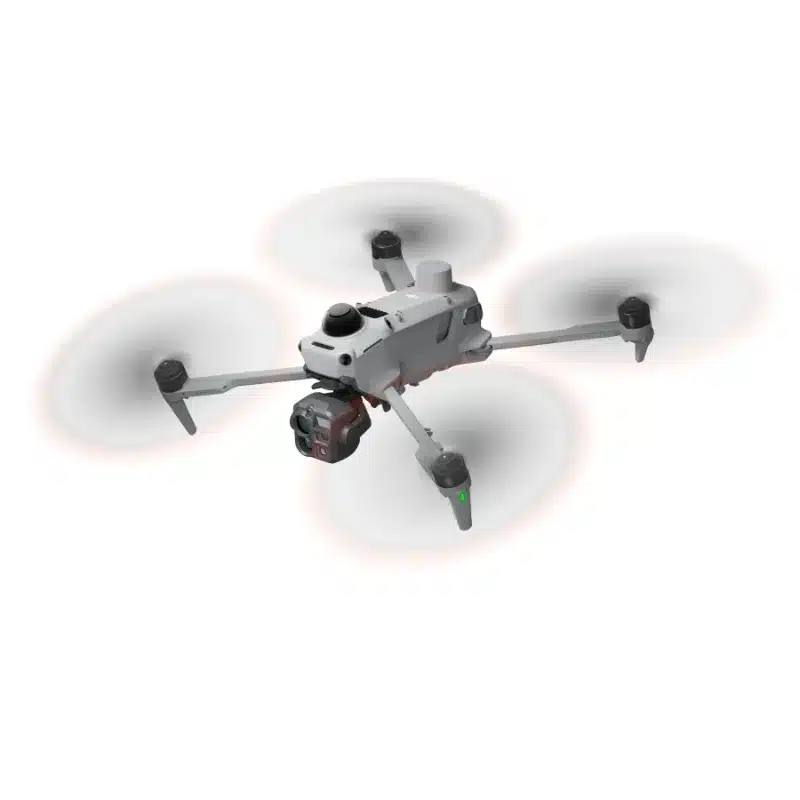
Featuring a native 1280×1024 resolution, the thermal camera quadruples the pixel count of standard 640×512 sensors. Enable UHR Infrared Image for real-time 2560×2048 footage at 30 fps. Even against complex backgrounds, heat anomalies remain clearly defined.
Wide-Angle Camera, Full-Color Night Vision
A large 1/0.98-inch sensor and fast f/1.8 aperture capture more light. Backed by AI low-light enhancement, ISO sensitivity reaches 1,600,000, delivering vivid full-color imagery in conditions as dark as 0.01 lux .
Medium Telephoto, Mid-Range Precision
Equipped with a 50 MP sensor and 3× optical zoom, the camera resolves sharp details at medium range. During power line or bridge inspections, it can detect pins and cracks from 10 meters away and clearly read instrument data at substations.
Telephoto Camera, Monochrome Night Vision
With an 11× optical and 176× hybrid zoom, the 50 MP sensor reads license plates from up to 400 m away. An RYYB array offers greater light sensitivity per unit area than a standard RGGB array, for better low-light performance. Adjusting the IR cut filter further lowers the operational lux threshold.
Built for Challenging Conditions
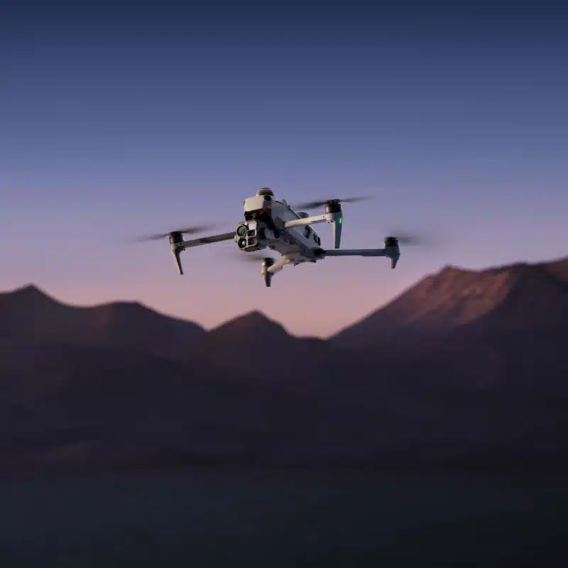
As a compact enterprise flagship, Matrice 5T features an IP55 rating, allowing it to operate in challenging conditions including dust and rain. It also performs reliably across a broad temperature range of -20° to 50° C (-4° to 122° F).
Low-Light Flight Safety
The omnidirectional low-light sensing system [15] uses full-color fisheye sensors to maintain visual positioning in conditions as dark as 0.5 lux, while Vision Assist now provides full-color imagery for enhanced situational awareness. In dim urban areas, vision and LiDAR work together for reliable sensing; in pitch-black wilderness, LiDAR takes over to detect obstacles ahead.