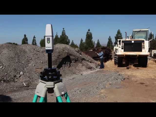
Topcon GT Series Robotic Total Station
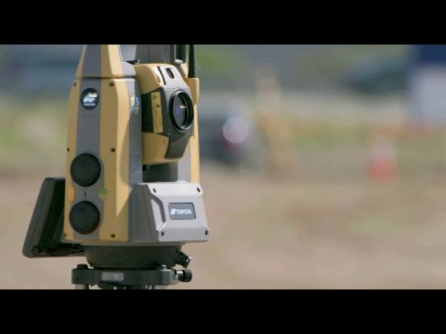
Check out Topcon’s smaller, faster, lighter GT Series Robotic. For maximum productivity combine with the new Topcon HiPer HR GNSS, Topcon FC-5000 survey tablet and MAGNET software for an elite level solution.
Check out Topcon’s smaller, faster, lighter GT Series Robotic. For maximum productivity combine with the new Topcon HiPer HR GNSS, Topcon FC-5000 survey tablet and MAGNET software for an elite level solution.
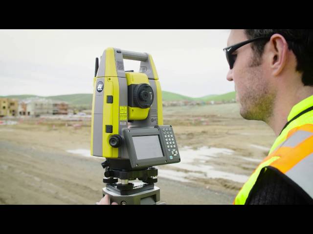
Take your surveying to elite levels with Topcon’s integrated workflow solution that includes the Topcon GT Series Robotic, Topcon HiPer HR GNSS, Topcon FC-5000 and MAGNET Software.
In this How To video, we guide you step-by-step through the process of calibrating tilt sensors using Topcon’s HiPer HR integrated GNSS receiver
COMPACT, HIGH DENSITY 3D MOBILE MAPPING SYSTEM The IP-S3 mobile mapping system offers high density, high precision, point clouds combined with high resolution panoramas from a system that is smaller, lighter and easier to handle. IP-S3’s positioning system is an integration of an Inertial Measurement Unit (IMU), GNSS receiver (GPS and GLONASS) and a vehicle odometer. It provides precise positioning and attitude in a dynamic environment. The rotating LiDAR sensor captures the environment with a rate of 700,000 pulses per second. During each rotation, the 32 internal lasers cover the full 360 degrees around the system, each from a slightly different viewing angle. This minimizes gaps in the point cloud which arise from obstacles or dead-angles and removes

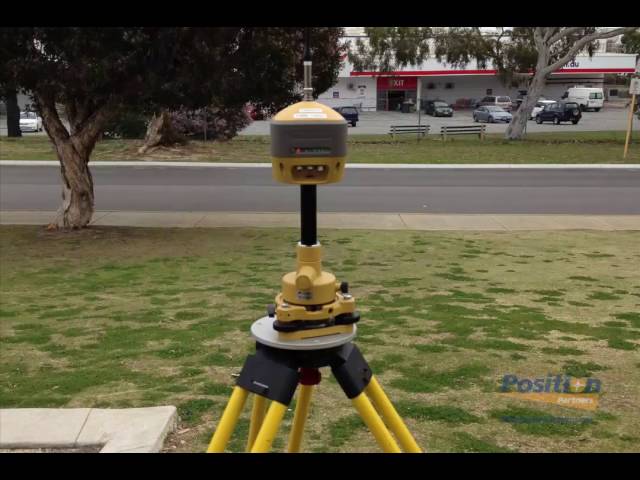
One Queensland customer shares his experience of satellite acquisition on Topcon’s GR-5 GNSS receiver under a tree canopy

Ultra-compact, ultra-robust GNSS receiver with patented Vanguard chip and multi-signal tracking technology for reliable positioning in any application.