


MAGNET FIELD 3.2: How To Road Stakeout Part 3 – Stake Real Time Road
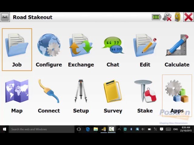
Watch this short video that explains how to use stake real time road routine using Magnet Field 3.2.

Watch this short video that explains how to use stake real time road routine using Magnet Field 3.2.
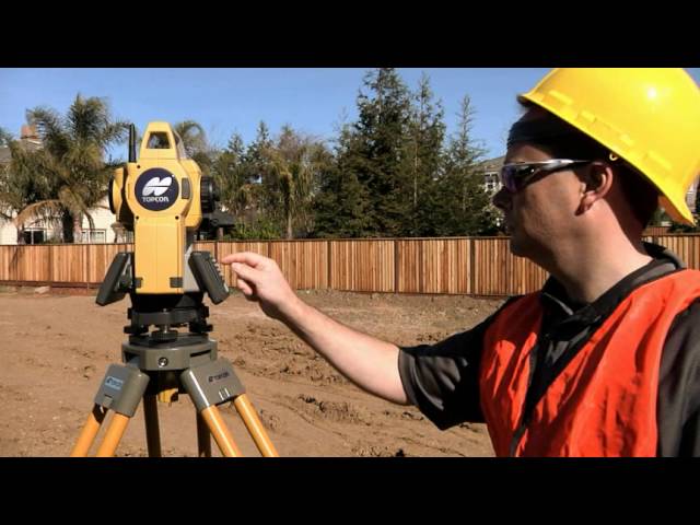
The Topcon OS Series offers a range of features to help you get the job done faster.
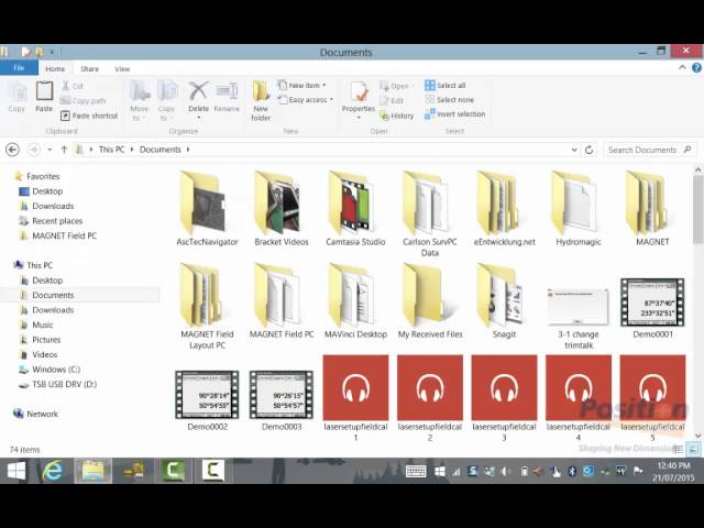
Watch this short video to see how you can copy survey configurations from device to device in Magnet Field 3.1
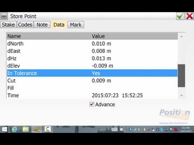
Watch this short video to see how you can customise your stakeout reports in Magnet Field 3.1
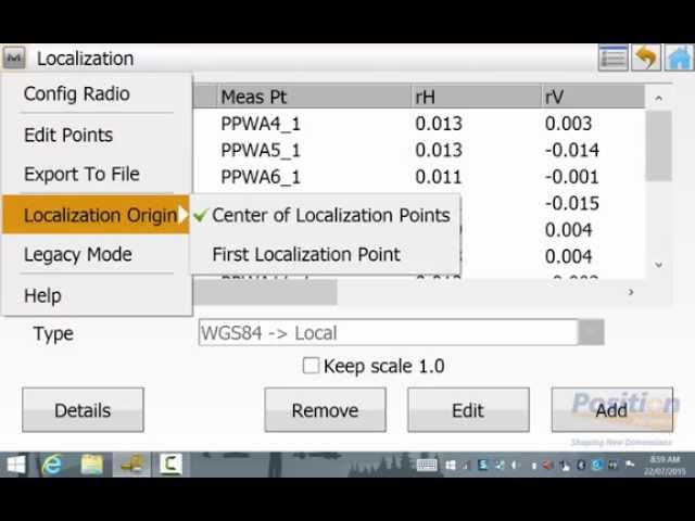
Watch this short video which demonstrates how to complete a WGS84 localisation in Magnet Field 3.1

COMPACT, HIGH DENSITY 3D MOBILE MAPPING SYSTEM The IP-S3 mobile mapping system offers high density, high precision, point clouds combined with high resolution panoramas from a system that is smaller, lighter and easier to handle. IP-S3’s positioning system is an integration of an Inertial Measurement Unit (IMU), GNSS receiver (GPS and GLONASS) and a vehicle odometer. It provides precise positioning and attitude in a dynamic environment. The rotating LiDAR sensor captures the environment with a rate of 700,000 pulses per second. During each rotation, the 32 internal lasers cover the full 360 degrees around the system, each from a slightly different viewing angle. This minimizes gaps in the point cloud which arise from obstacles or dead-angles and removes
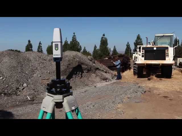
See how the new Autodesk BIM 360 Layout app is easily paired with a rugged Topcon LN-100 instrument to instantly link construction project sites via a secure cloud connection. Improve measurement accuracies after simply setting up the Topcon LN-100 and powering it on. Self-leveling and wireless communications are automatic to then confidently perform 3D design layout.