Survey Grade Accuracy of Drones for Construction
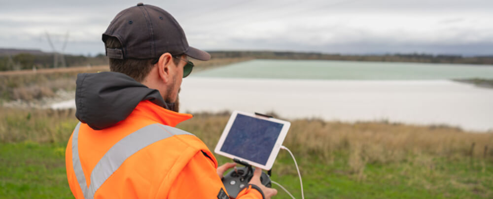
As an everyday practise, we have seen industrial services adopt the use of drones. Whether it is to accurately survey a construction site or to inspect remote infrastructure, The use of drones in construction has become increasingly popular as a way of safely and accurately getting field data to inform decisions on site. Why are Drones used in Construction? Drones are becoming almost an everyday part of the construction industry. The most popular ways that drones are used in construction include: Topography surveying Geospatial surveying Earthworks & construction design Creating 3D and orthomosaic maps Mass haul planning Underground utility mapping Traffic monitoring and management Infrastructure (bridges, towers etc) and building inspection at heights Site safety and supplier monitoring