How Engineers Use RTK
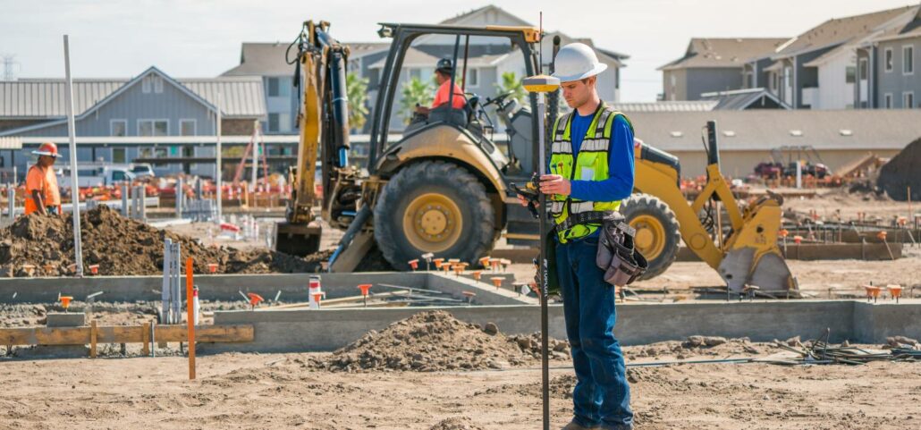
Civil engineers use RTK (Real-Time Kinematic) as a GNSS satellite data correction system. RTK improves positioning data for surveys and topographic maps which require precision to usefully inform engineers about construction design decisions both in the initial phases of a project and while the project is underway. What is RTK? RTK integrates the GNSS positioning data from a fixed base station into any compatible GNSS device, giving it centimetre accuracy. GNSS devices are used in a slew of applications, including everything from agriculture to robotics. Without RTK, the positioning accuracy of devices is around five metres, because they are susceptible to measurement errors including: Clock errors Orbit errors Satellite biases Atmospheric errors Multipath RTK is one of a