The current shortage of surveyors is resulting in a delay of jobs getting started, progressing and coming to completion. Adam Burke, Geospatial Manager, discusses that surveyors are crucial, and that technology is the solution to the shortage of surveyors to support surveyors to become even more efficient and to assist them with their tasks.
Adam Burke, Geospatial Manager, discusses the Aptella apprenticeship program and how vital millennials are to Aptella and the surveying profession.
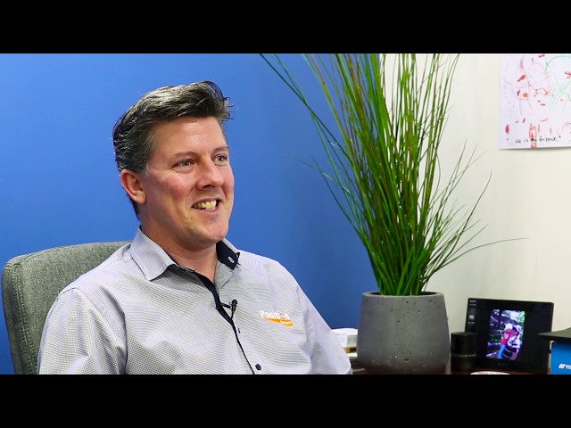
Adam Burke, Geospatial Manager, discusses what Aptella is like as an employer.
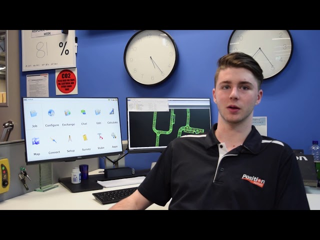
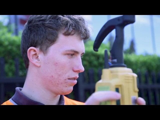
Congratulations to Connan McRae from our Sydney-based support team for winning 1300 Apprentice’s Trainee of the Year 2018 award. Here he shares what drew him to a career in survey & spatial sciences
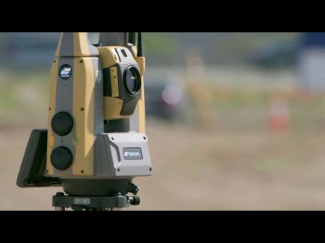
Check out Topcon’s smaller, faster, lighter GT Series Robotic. For maximum productivity combine with the new Topcon HiPer HR GNSS, Topcon FC-5000 survey tablet and MAGNET software for an elite level solution.
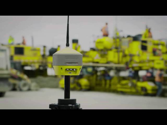
Introducing Topcon’s new ultra compact, high performance GNSS receiver. Ideal to use as a base station, network rover or as part of a Hybrid solution with your Topcon robotic.
MAVinci SIRIUS UAS – Getting Jobs done when other UAS struggle
Terralink’s new StreetCam3D vehicle is capable of capturing over 1.3 million points of location data every second, driving at normal road speeds. When this high density LiDAR (Light Detection and Ranging) technology is combined with 360° imagery, the result is breathtaking – a realistic, highly accurate and measurable 3D model of the street environment. StreetCam 3D is a truly revolutionary solution for the cost effective, high-speed capture of 3D data and dynamic imaging for the following applications; environmental monitoring and planning, road infrastructure management, emergency planning and response, utilities and telecommunications asset management, surveying and engineering field capture and planning, civil defence and national security planning and preparedness.