Facilities management made easy
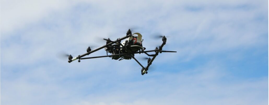
Combining Ground Penetrating Radar (GPR), laser scanning and Unmanned Aerial System (UAS) technology to deliver underground, structural and aerial imagery for accurate asset and property management. Maintenance of a building over its lifetime is reported to cost more than the building’s original construction. Knowing where underground services and building assets accurately sit is a challenge that can add time and cost to any work carried out. Old plans, many of which are original paper designs or mud-maps can often prove unreliable as more often than not, assets are repositioned during the build. Reliable facilities management data that includes accurate location information can help facilities managers better plan their maintenance actions and reduce costs. The older the structure, the