Be-In-Control with Agisoft Metashape
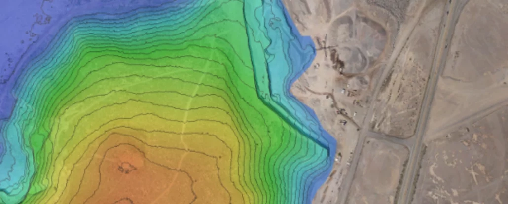
Solving drone workflow issues using Agisoft Metashape One of the more difficult aspects of using aerial survey drones is coming up with accurate drone positioning. You can’t always get every step of the process done efficiently, especially when drone and data functionality rely heavily on factors that are largely dependent on software. No two projects are exactly the same, and this variation of factors will always result in different data outcomes. We know that gathering accurate data is essential for surveyors using survey drones, and that processing workflows can add another layer of complexity. Aptella understands how best to overcome these setbacks and gain consistent data. So, we’re going to narrow down how we can play a part