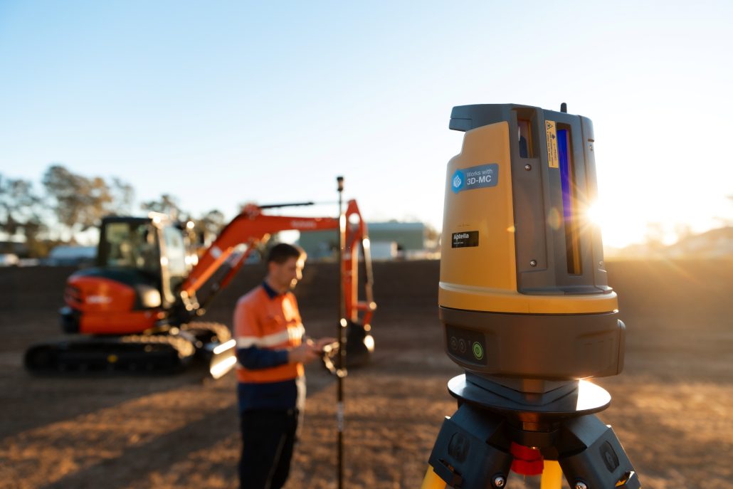
Machine guidance integrates positioning technology directly with excavators and compact track loaders, bringing precision to excavation and subgrade preparation. For excavators, you’re looking at detailed excavation for strip and pad footings without marks on the ground.
For compact track loaders fitted with grader or box blade attachments, you’re achieving final trim on subgrade, spreading sand, and preparing surfaces to precise heights before pouring.
Read more
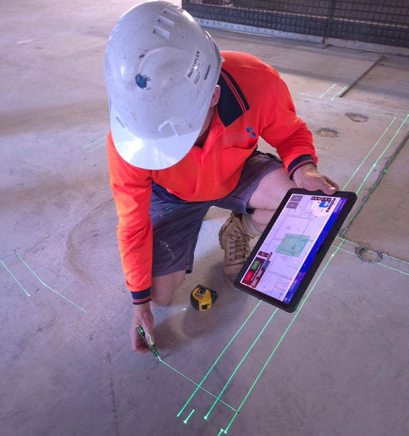
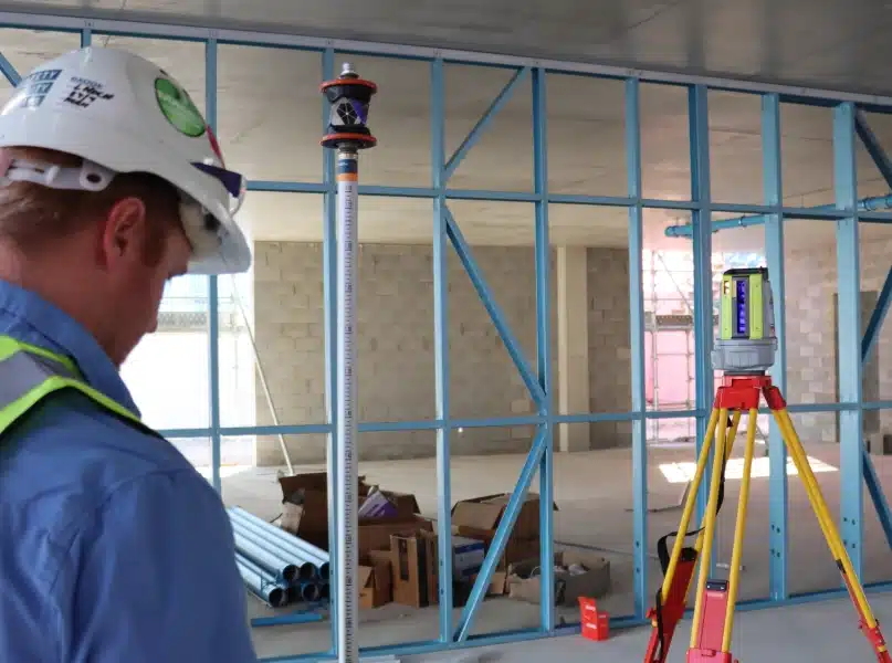
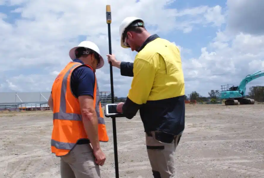
The operator sees the digital design in cab, views bucket or blade position in real time, and works to millimetre accuracy without anyone checking levels on the ground.
In the case of a compact track loader, this is fully automated control, not just an indicate only system. Hit a switch on the stick and the system raises and lowers the blade automatically based on design and machine position. You’re driving forward or backward while the system handles vertical adjustments to trim gravel at correct heights.
This matters enormously for concreters: correct subgrade heights prevent over usage of concrete that costs money and not achieving thickness that compromises structural integrity and fails to meet minimum standards.
With skilled labour shortages and tight programs, machine guidance delivers efficiency by eliminating manual checks, improving safety by keeping people out of danger zones, and ensuring work is done right the first time.
For residential concreters, machine guidance lets you create designs on site for simpler projects like pools without needing consultant drawings, building on existing operator skills with cost effective upgrades to equipment you already own.


")