Air traffic that’s helping the planet

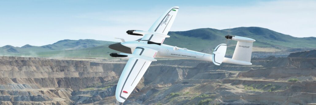
From calculating carbon credits to LiDAR mapping, the versatility of aerial mapping applications is expanding at pace. Remotely piloted aircraft systems (RPAS) are fast becoming a mainstay of surveying, engineering and geospatial applications. The technology, computer processing speeds and data integrity have come a long way since their first introduction as aerial mapping instruments in 2011. And it’s fair to say their in-flight stability, battery life and overall reliability have also improved tenfold or more. Intelligent positioning solutions provider Aptella was the first to introduce a survey-grade RPAS in 2011. “We are continuously on the look-out for innovative solutions from around the world that will improve productivity for our customers,” said Gavin Docherty, RPAS manager for the company.
u-blox and Aptella roll out PointPerfect GNSS augmentation service to Australia

The collaboration between Aptella and u-blox will facilitate the rollout of accurate positioning for a diverse range of applications, from autonomous shuttles and public transport to service robots and other Internet of Things (IoT) uses. u-blox (SIX:UBXN), a global provider of leading positioning and wireless communication technology and services, and Aptella, an Australasian provider of intelligent positioning solutions, have announced today the expanded coverage of the PointPerfect global navigation satellite system (GNSS) augmentation service to Victoria and New South Wales, including Melbourne and Sydney, as an initial step in rolling out the service to the Australian and New Zealand markets. Access to industry-standard high accuracy positioning for fleet and Internet of Things applications Available via Thingstream, u-blox’s enterprise-grade IoT