Gandy and Roberts improve design and build outcomes with 3D mapping

navvis vlx mobile mapping technology used o improve service

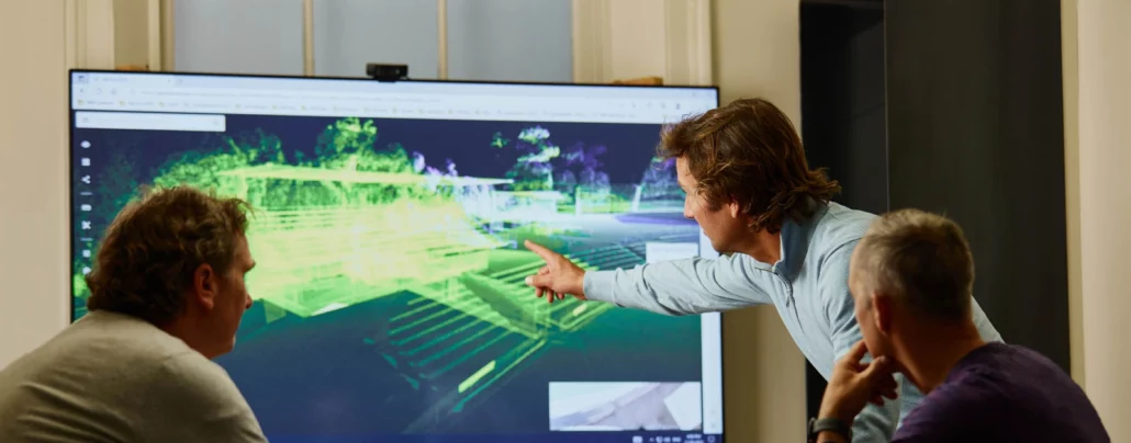
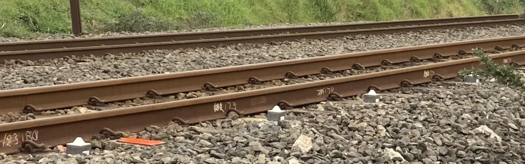
Tasmanian engineering firm Gandy and Roberts recently deployed mobile mapping technology to improve its service offering for architects and builders through accurate, accessible point clouds at all stages of the construction lifecycle. As advocates for technology to increase efficiency and reduce rework, the team at Gandy and Roberts encourages clients to try out innovation and new methods.    “The construction industry is notoriously slow at embracing technology, but our clients appreciate that we think outside the box a little bit and suggest giving new methods a try, both for the architects at the design phase and later the construction team,” said Klaus Stroehl, a company director.      Klaus said he has kept a close eye on scanning technology for the

Vitruvius experiences reduced costs and increased speed of deployment when implementing Senceive tilt sensors and nodes

tilt sensors senceive

When Vitruvius was approached by Fulton Hogan for a solution for the monitoring part of the North Island Main Trunk Route project in the North Island of New Zealand, Richard Foot, Surveyor, Vitruvius implemented Senceive Tilt Nodes and Gateway from Aptella. Fulton Hogan needed to monitor roughly 160m of track on the North Island Main Trunk Route project and three existing rail overbridges carrying State Highway 1 in the North Island of New Zealand as part of the enabling works package. This package involved building a crash wall and piling for three new overbridges for the state highway being constructed as part of the Pukekohe to Papakura rail electrification project.   Vitruvius partnered with Aptella to implement 92