YellowScan CloudStation

YellowScan’s CloudStation allows a better and simplified experience with your point cloud data.

YellowScan CloudStation provides a complete software solution to create and manipulate point cloud data. It allows to extract, process and display data immediately after the acquisition flight. The auto-generation of strips and the production of LAS files are now done in only few clicks.

Request more information about this product
Categories:

Description

YellowScan’s software is designed by surveyors for surveyors for complex and long endurance flight operations.

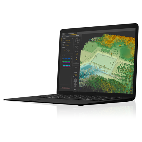
YellowScan CloudStation is a licensed software which provides every customer with a single seat floating license. To allow for remote work in the field, customers have the option to check out the license for up to 30 days. Additionally, the software is provided with 1-year maintenance including support and updates.

YellowScan CloudStation comes as an all-integrated solution.

  • User-friendly graphical interface
  • Automatic or custom strip selection
  • Process and export in .LAS format
  • Advanced visualization tools
  • Project settings: coordinate system, LiDAR profile, angle range…

Specifications

GENERAL CHARACTERISTICS
  • Operating on Windows 10
  • Automatic updates
  • Offline license mode
  • Optional extra license seats
DISPLAY OPTIONS
  • Cloud color (elevation, intensity, echo…)
  • Measurement tools
  • 3D view
  • EDL filter
  • Vertical Slicing
POINT CLOUD PROCESSING
  • Project settings (coordinate system, LiDAR profile, angle range…)
  • Automatic strip selection
  • Process and export in .las format

Reviews

There are no reviews yet.

Be the first to review “YellowScan CloudStation”

Your email address will not be published. Required fields are marked *