Topcon Positioning Group announces the launch of the Topcon Talks Construction podcast series The programming is designed to bring together a variety of guests offering unique perspectives on a wide range of topics impacting the industry. The first episode is available now for streaming with a new episode released every other week. The podcast format is ideal for on-the-go listening from the home or office to the job site, or wherever or whenever the listener wants to engage. The episodes are centered on industry discussions, whether it be a specific project or type of application to broader topics such as state-of-the-industry drivers, trends and opportunities. Among the guests in the first season are trade professionals, educators, organizational leaders,
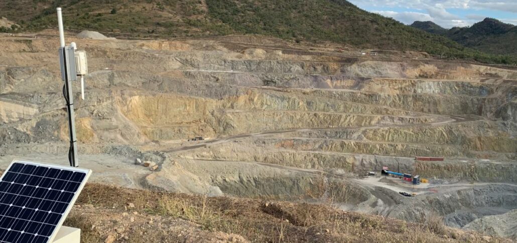
Mid-tier gold producer Evolution Mining rolls out Senceive wireless monitoring platform at its Mt Carlton site to deliver live reporting to supervisors and control teams. Mt Carlton is located 150km south of Townsville, Queensland. Operating a 500-metre by 400-metre pit and a 600-metre by 600-metre tailings dam, the company opted to introduce advanced deformation monitoring technology to deliver real-time status updates and alerts to its team. Evolution opted for Senceive’s GeoWAN solution, a long-range transmission system capable of covering areas up to 15-kilimetres. It incorporates several sensors placed along the tailings dam and/or pit walls to measure for minute movements in the surface. The sensors are wirelessly connected to a solar powered gateway, positioned near to the pit, where

Intelligent positioning solutions provider Aptella to distribute Soil Instruments’ geotechnical sensor range for specialised monitoring applications throughout Australia and New Zealand. Soil Instruments designs and manufactures a wide range of geotechnical monitoring instruments that are used to detect variations in pressure, strain, settlement, or other parameters in deformation monitoring scenarios. “Aptella has worked with Soil Instruments’ product range for 18 months for specific projects that have required specialised sensors,” said Andrew Jones, Monitoring Marketing Development Manager at Aptella. “Soil Instruments has an excellent reputation amongst engineers and geotechnical specialists for their high quality monitoring products,” he added. “Their range expands our monitoring solution portfolio, providing customers a more efficient technical and commercial offering,” he added. For almost 60
iDig is a simple 2D excavator system that gives the operator a live position of the bucket to guide them to grade quickly and accurately. It works with all makes, models and sizes of machine from little one tonne diggers up to mine excavators. Wayne Nicholson, owner and operator of Combined Excavations, explains they have the iDig system fitted to their two 1.5 tonne and 13-tonne excavators. “We utilise the 2D system to save us time on the ground as well as labour costs,” Mr Nicholson said. iDig helps operators get to grade in a range of applications, including slopes and levels, whilst providing real time information on the position of the cutting edge. It removes the need
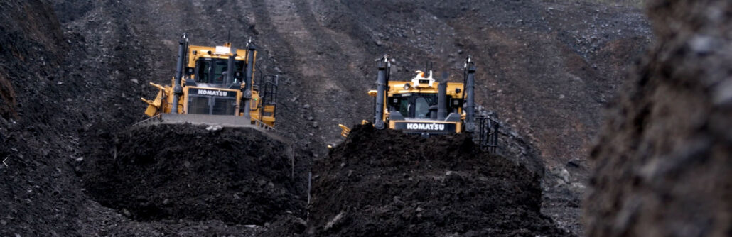
Volumetrics reporting is a simple yet powerful way to improve the efficiency of your dozer push strategy. Traditional survey methods or aerial mapping techniques report only on how much material was moved. Volumetrics reporting provides live insight into the productivity of every machine and operator in your dozer fleet. With an in-depth understanding of machine movement from the field, volumetrics uncovers not only the amount of material moved, but how efficiently it is being moved. Volumetrics reporting measures several parameters that can be optimised to increase bank cubic metres (BCM), BCM per hour and BCM per push. The top four metrics to get more out of your dozer fleet: 1) Machine run time: Gain valuable insight
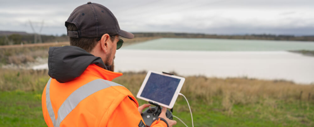
As an everyday practise, we have seen industrial services adopt the use of drones. Whether it is to accurately survey a construction site or to inspect remote infrastructure, The use of drones in construction has become increasingly popular as a way of safely and accurately getting field data to inform decisions on site. Why are Drones used in Construction? Drones are becoming almost an everyday part of the construction industry. The most popular ways that drones are used in construction include: Topography surveying Geospatial surveying Earthworks & construction design Creating 3D and orthomosaic maps Mass haul planning Underground utility mapping Traffic monitoring and management Infrastructure (bridges, towers etc) and building inspection at heights Site safety and supplier monitoring
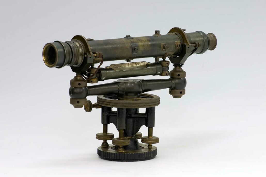
Measuring and survey instrument manufacturer (Sokkia) celebrates its 100th anniversary. The company was founded in Japan in 1920. Sokkia’s main distributor in Oceania, Aptella, reflects on the brand’s technology journey. Founded in Japan in 1920 under the name ‘Sokkisha,’ Sokkia marks its 100th year of manufacturing survey and measurement instruments for the surveying, construction and geospatial sectors. Technological innovation has come a long way since the company’s first instrument, a 12-inch Wye level that was introduced in 1920. In subsequent years, Sokkia developed a reputation for high precision and quality manufacturing of its survey instruments. Innovating in the 80s The 1980s was a period of rapid technological development for the company, including the release of the Sokkisha
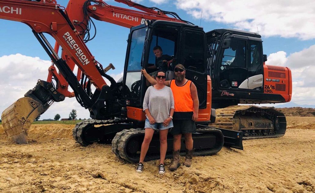
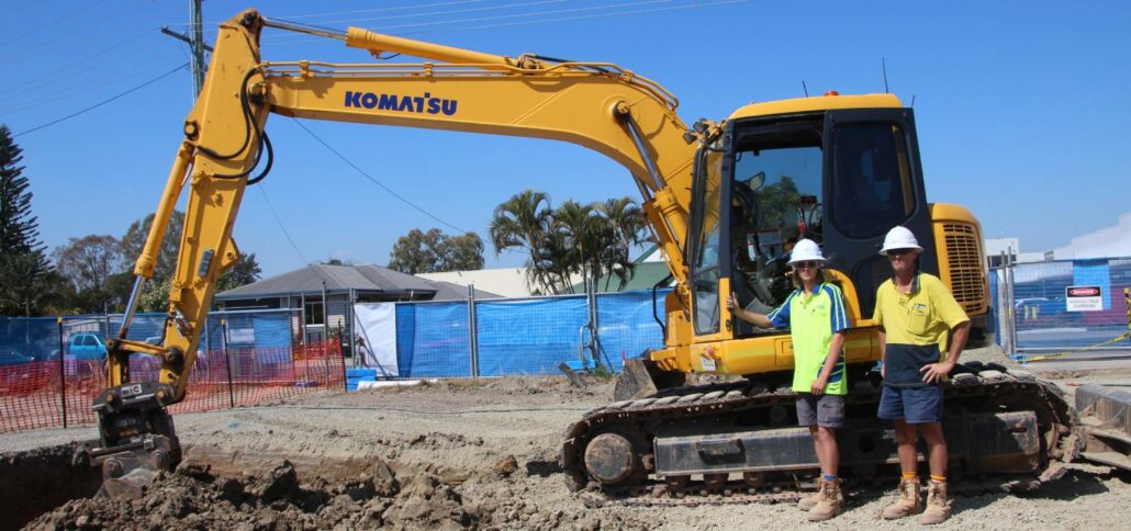
Contractors reap the benefits of iDig 2D excavator grade control Two New Zealand contractors share their experience with the latest 2D excavator grade control technology. Ireland Earthmovers, based in Matamata in New Zealand’s North Island, specialises in a wide range of earthmoving work including small civil jobs, site clearance, building, drainage and agricultural projects. Owners Ricky and Jenn Ireland (pictured above) have one 6.5-tonne and two 13-tonne Hitachi excavators and the company recently invested in an iDig 2D excavator grade control system that they saw recommended online. Between a laser and a full-scale 3D grade control system “I was interested in a cost-effective machine guidance option that was more advanced than a laser receiver on the dipper, without